Difference between revisions of "JeromeQuah Ex2 Proximity"
Jump to navigation
Jump to search
| Line 35: | Line 35: | ||
|} | |} | ||
| − | <!-- | + | [[File:Ex2 Map2 NaturalFeatures Proximity JeromeQuah.jpg|900px|thumb|center|'''Gombak Study Area with Proximity Map of Natural Features''']] |
| + | |||
| + | <!-- Slope Heading --> | ||
{| align=center width = 100% | {| align=center width = 100% | ||
! style="text-align: center; width:20em; height: 1em; border:5px ridge Crimson; font-weight:bold; font-size:25px; font-family:Times New Roman !important;; background-color:Black; color: White;"| SLOPE LAYER | ! style="text-align: center; width:20em; height: 1em; border:5px ridge Crimson; font-weight:bold; font-size:25px; font-family:Times New Roman !important;; background-color:Black; color: White;"| SLOPE LAYER | ||
|} | |} | ||
| + | |||
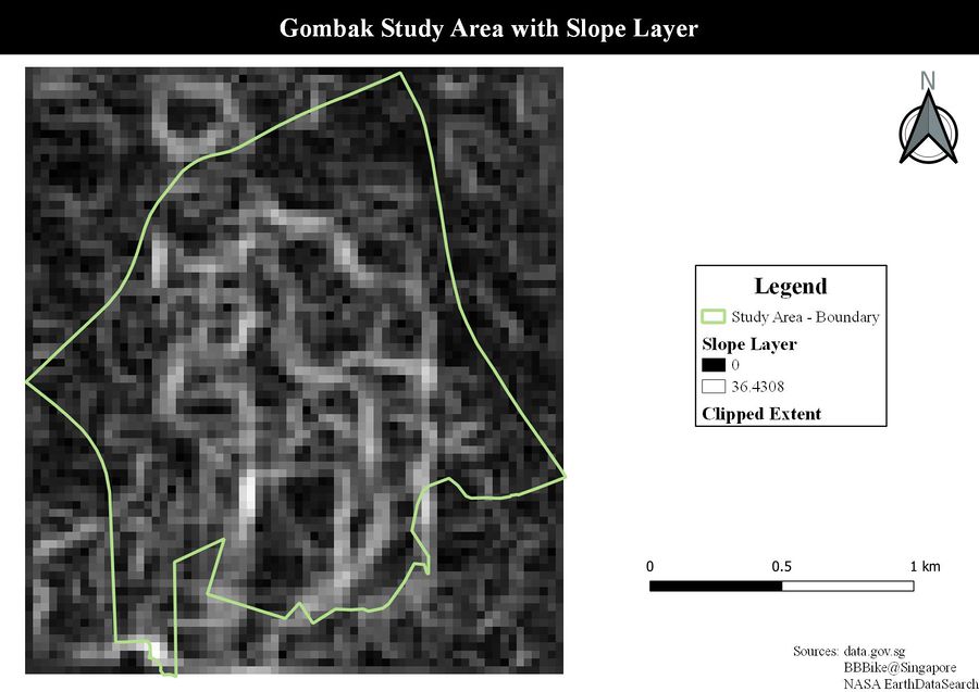
| + | [[File:Ex2 Map2 Slope JeromeQuah.jpg|900px|thumb|center|'''Gombak Study Area with Slope Layer''']] | ||


