IS428 AY2019-20T1 Assign Nurul Khairina Binte Abdul Kadir
VAST 2019 MC1: Crowdsourcing for Situational Awareness
|
|
|
|
|
|
Contents
Overview
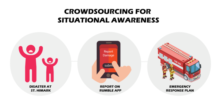
St. Himark is a vibrant community of 246,839 people located in the Oceanus Sea. The city has been hit by an earthquake, leaving officials scrambling to determine the extent of the damage and dispatch limited resources to the areas in most need. The city has released a new damage reporting mobile application called Rumble before the earthquake. Rumble allows citizens to provide more timely information to the city to help them understand the damage and prioritize their response. The app responses, shake maps of the earthquake strength and background knowledge of the city will be used to identify areas of concern and advise emergency planners. With emergency services stretched thin, officials are relying on citizens to provide them with much needed information about the effects of the quake to help focus recovery efforts. By combining seismic readings of the quake, responses from the app, and background knowledge of the city, help the city triage their efforts for rescue and recovery.
Emergency responders can benefit greatly from using crowdsourced data. However, the reliability and quality of the reports made by citizens are a key concern. It can be a challenge for emergency responders to use crowdsourced data for decision making since false reports could have been made. Anyone can download the application and report the damage based on their observations. This can potentially affect their recovery efforts since resources could have been used in a neighborhood that needs more help.
Objectives
The objectives of this interactive dashboard is as follows:
1) Determine how their response should change based on damage reports from citizens on the ground.
2) Show uncertainty in the data and compare the reliability of neighborhood reports.
3) Analyse the key changes over time.
Data Description
Before we begin the data transformation process, we have to understand and interpret the given dataset to determine which data type we currently have and what we need to transform it into.
The data zip file consists of 1 CSV file (mc1-reports-data.csv) spanning the entire length of the event from 6 April 2020, 12 AM to 11 April 2020, 12 AM and 2 shakemap images. The CSV file contains the individual reports (categorical) of shaking/damage by neighborhood over time. Reports are made by citizens at any time through the Rumble mobile app. However, they are only recorded in 5-minute batches/increments due to the server configuration. Furthermore, delays in the receipt of reports may occur during power outages.
Data Attributes of CSV File
| Data Attributes | Description |
|---|---|
| Time | Timestamp of incoming report/record, in the format YYYY-MM-DD hh:mm:ss |
| Location | ID of neighborhood where person reporting is feeling the shaking and/or seeing the damage |
| Shake Intensity, Sewer and Water, Power, Roads and Bridges, Medical, Buildings | Reported categorical value of how violent the shaking was/how bad the damage was (0 - lowest, 10 - highest; missing data allowed) |
Shakemap Images, Shape File and Map Images
Also included are two shakemap (PNG) files which indicate where the corresponding earthquakes' epicenters originate as well as how much shaking can be felt across the city. The StHimark shape file and map images which are obtained from the dataset of Mini Challenge 2 is used to create the map of the city.
