Difference between revisions of "Mandi Assignment Final Answer"
Jump to navigation
Jump to search
| Line 23: | Line 23: | ||
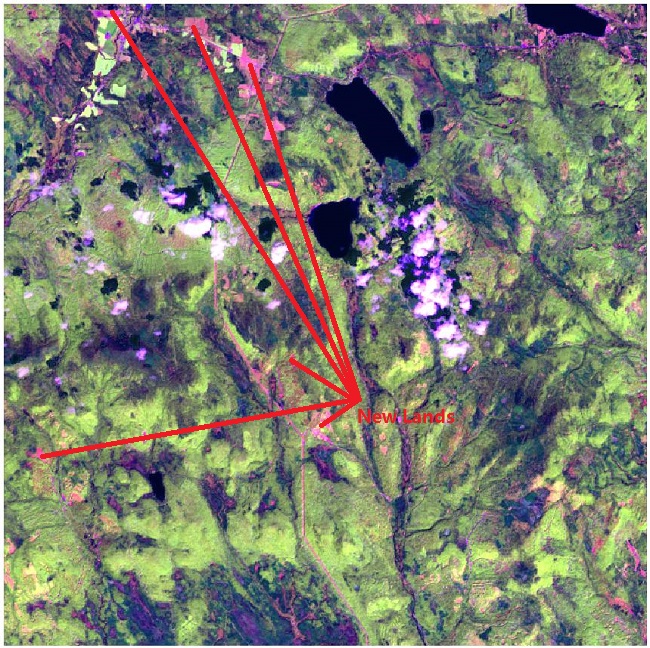
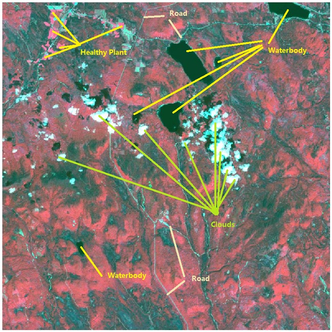
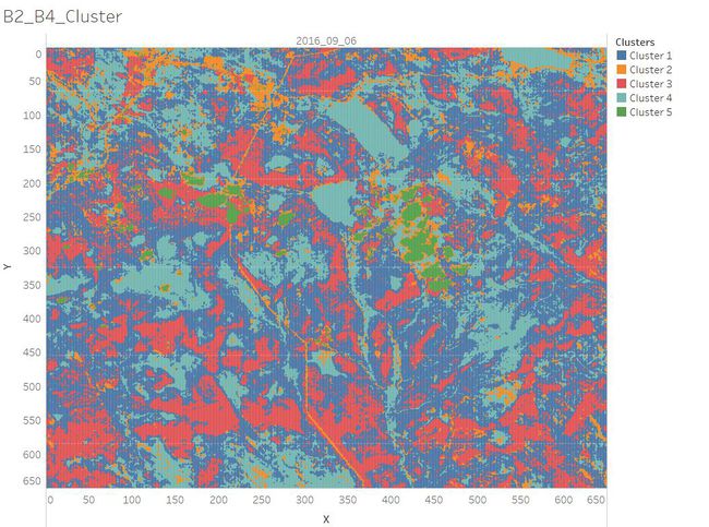
'''2. Features in the Preserve area as captured in the imagery.''' <br /> | '''2. Features in the Preserve area as captured in the imagery.''' <br /> | ||
| − | [[File:2016 09 06 Floods newLands.jpeg]] | + | [[File:2016 09 06 Floods newLands.jpeg|650px|650px]] |
| − | [[File:2016 09 06 Changes PlantHealth.jpeg]] | + | [[File:2016 09 06 Changes PlantHealth.jpeg|650px|650px]] |
[[File:NDVI NIR.jpg|1200px]] | [[File:NDVI NIR.jpg|1200px]] | ||
<br /> | <br /> | ||
| − | [[File:B2 B4 Cluster.jpg| | + | [[File:B2 B4 Cluster.jpg|650px|650px]] |
| + | <br /> | ||
| + | |||
'''3. Features that change over time in these images.''' | '''3. Features that change over time in these images.''' | ||


