SMT201 AY2019-20G1 EX1 Jessica Low Hui Chen
Revision as of 23:42, 14 September 2019 by Jessicalow.2018 (talk | contribs) (→Hierarchy of Road Network System)
Part One: Thematic Mapping
Distribution of Public Education Institutions by School Types
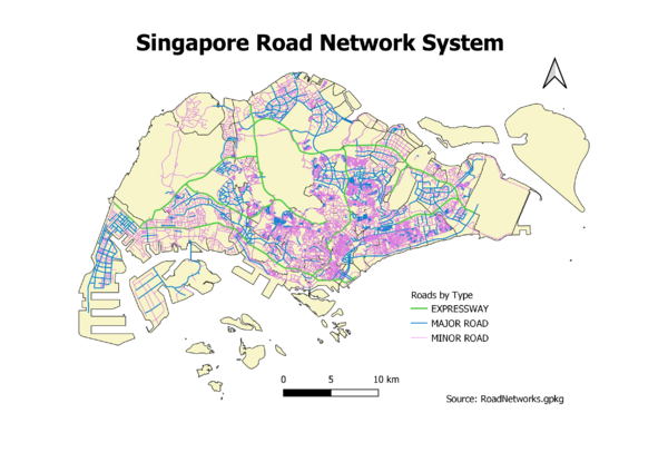
Hierarchy of Road Network System
I created a new field “RD_CLASS” & followed URA’s guidelines on road nomenclature to filter the data into the various road network hierarchies.
- Expressways – If they have ‘Expressway’ in their name
- Major roads – Cat 1 & 2 roads
- Minor roads – Cat 3-5 roads
Thereafter, I used different coloured lines to represent roads of each category. I changed the width of the roads according to the hierarchy, the expressways being the thickest & minor roads being the thinnest.
URA Handbook on Guidelines for Naming of Streets: https://www.ura.gov.sg/-/media/Corporate/Resources/Publications/Streets-and-Building-Names/SBNB_handbook_streets.pdf?la=en
2014 Master Plan Landuse
Part Two: Choropleth Mapping
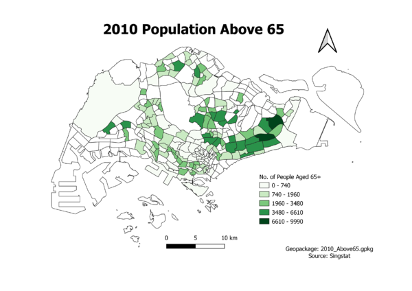
Aged Population (+65) in 2010
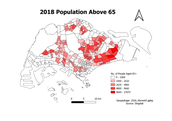
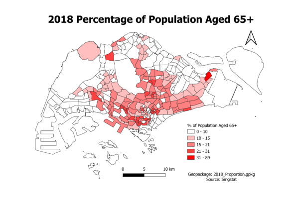
Aged Population (+65) in 2018
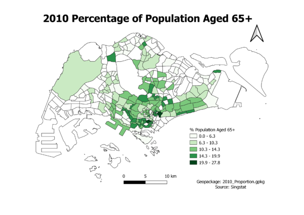
Proportion of Aged Population in 2010
