File:Road Hierachy,2019.png
Revision as of 20:02, 15 September 2019 by Linus.cheng.2017 (talk | contribs)
Size of this preview: 800 × 566 pixels. Other resolutions: 320 × 226 pixels | 3,507 × 2,480 pixels.
Original file (3,507 × 2,480 pixels, file size: 443 KB, MIME type: image/png)
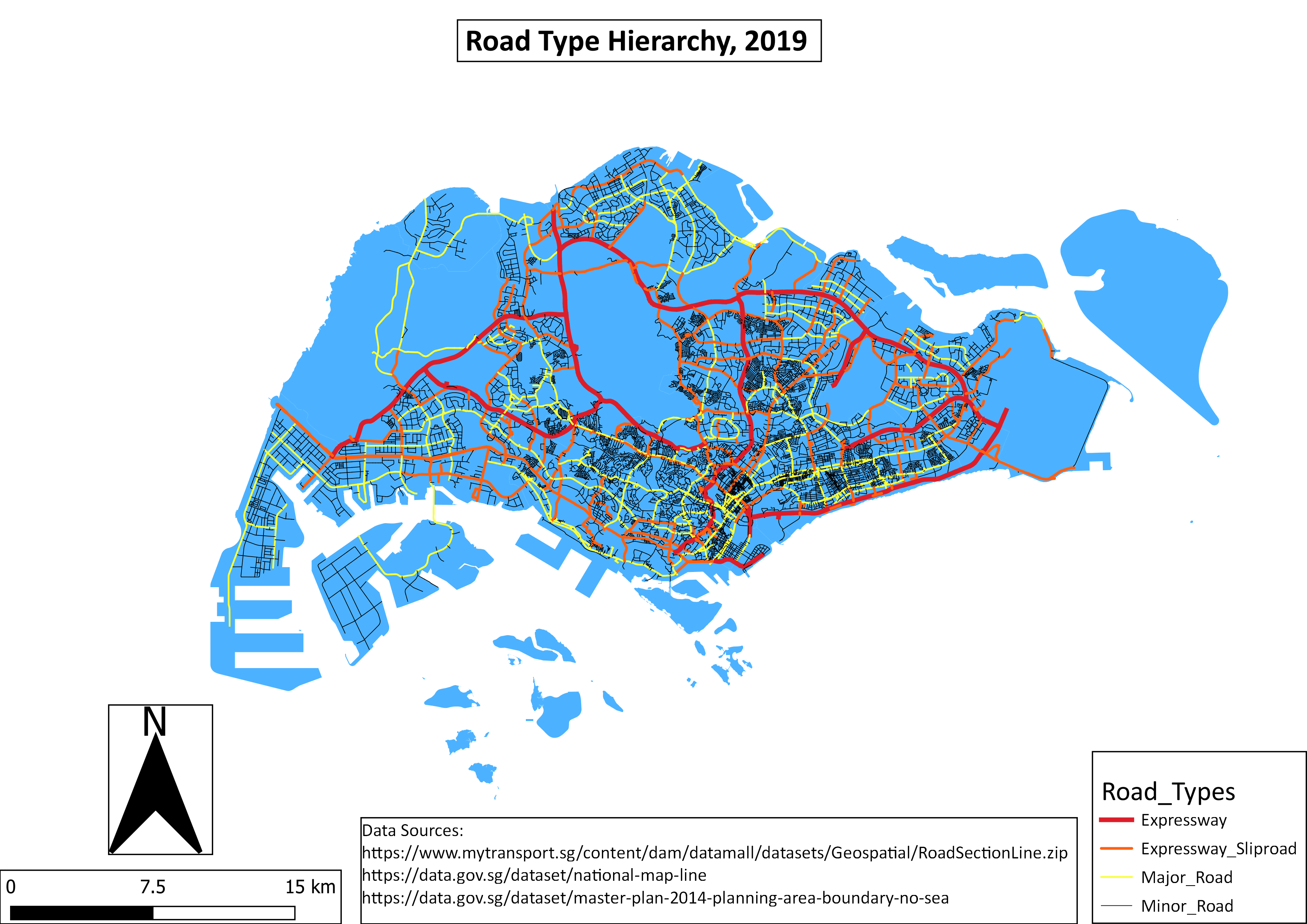
a thematic map showing the hierarchy of road network system of Singapore such as expressway, major road, minor road, etc.
File history
Click on a date/time to view the file as it appeared at that time.
| Date/Time | Thumbnail | Dimensions | User | Comment | |
|---|---|---|---|---|---|
| current | 20:02, 15 September 2019 | | 3,507 × 2,480 (443 KB) | Linus.cheng.2017 (talk | contribs) |
- You cannot overwrite this file.
File usage
The following 2 pages link to this file: