Difference between revisions of "Jingyi Proximity"
Jump to navigation
Jump to search
| Line 30: | Line 30: | ||
[[File:Proxi4.jpg|1000px|frameless|center]] | [[File:Proxi4.jpg|1000px|frameless|center]] | ||
| + | </br> | ||
| − | <div class="Frame" style="{{Round corners}}; background: # | + | <div class="Frame" style="{{Round corners}}; background: #e75480; text-align: center; padding: 0px; font-size: 200%;"><font face="arial" color="#ffffff " size="+1"><b>Proximity to Buildings (Metres)</b></font></div></div> |
| + | </br> | ||
| + | |||
| + | Hi Hi Hi | ||
| + | |||
| + | <div class="Frame" style="{{Round corners}}; background: #50C878; text-align: center; padding: 0px; font-size: 200%;"><font face="arial" color="#ffffff " size="+1"><b>Proximity to Natural Features</b></font></div></div> | ||
| + | </br> | ||
| + | |||
| + | |||
| + | Hi Hi Hi | ||
| + | |||
| + | <div class="Frame" style="{{Round corners}}; background: #ED4337; text-align: center; padding: 0px; font-size: 200%;"><font face="arial" color="#ffffff " size="+1"><b>Proximity to Roads</b></font></div></div> | ||
| + | </br> | ||
| + | |||
| + | hi hi hi | ||
| + | |||
| + | <div class="Frame" style="{{Round corners}}; background: #808080; text-align: center; padding: 0px; font-size: 200%;"><font face="arial" color="#ffffff " size="+1"><b>Slope Analysis</b></font></div></div> | ||
| + | </br> | ||
| + | |||
| + | hi hi hi | ||
Revision as of 14:45, 10 November 2019
National Communicable Disease Quarantine Centre Land Suitability Analysis

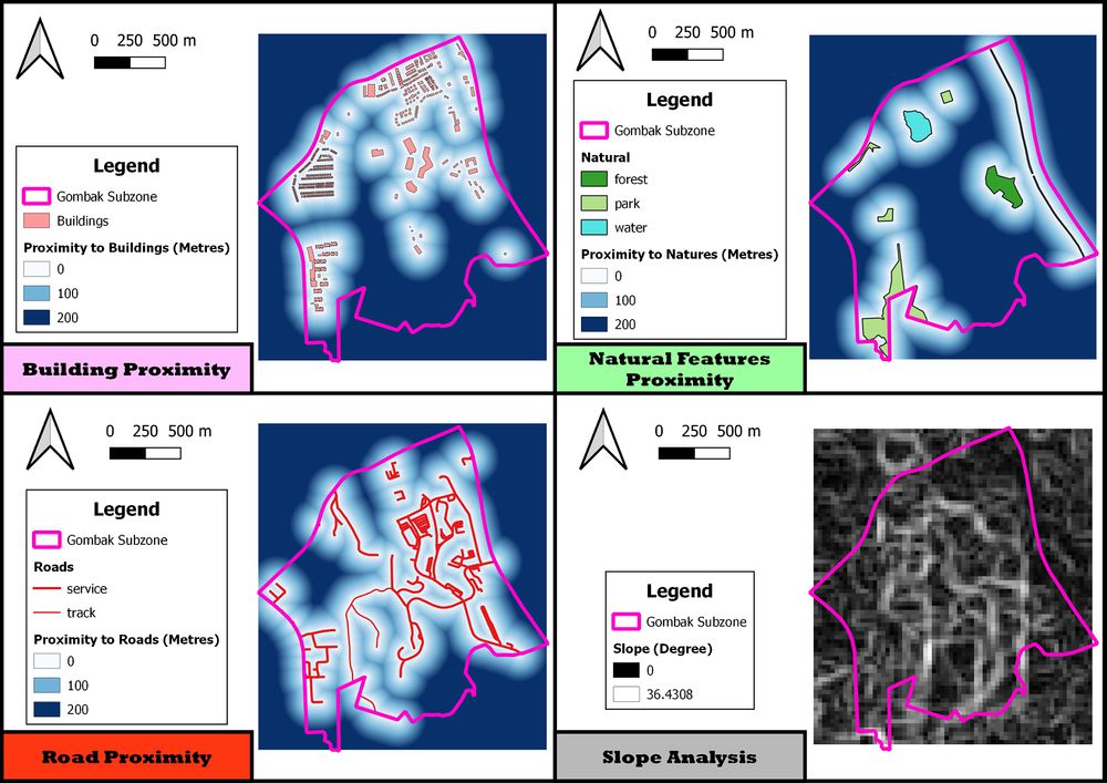
Proximity to Buildings (Metres)
Hi Hi Hi
Proximity to Natural Features
Hi Hi Hi
Proximity to Roads
hi hi hi
Slope Analysis
hi hi hi