Difference between revisions of "Jingyi Proximity"
Jump to navigation
Jump to search
(Created page with "<div class="Frame" style="border-style: none; padding: 3px; font-size: 100%;"> <div class="Frame" style="border-style: none; text-align: left; border: #3232CD solid 2px; -moz-...") |
|||
| Line 29: | Line 29: | ||
<!--/Header--> | <!--/Header--> | ||
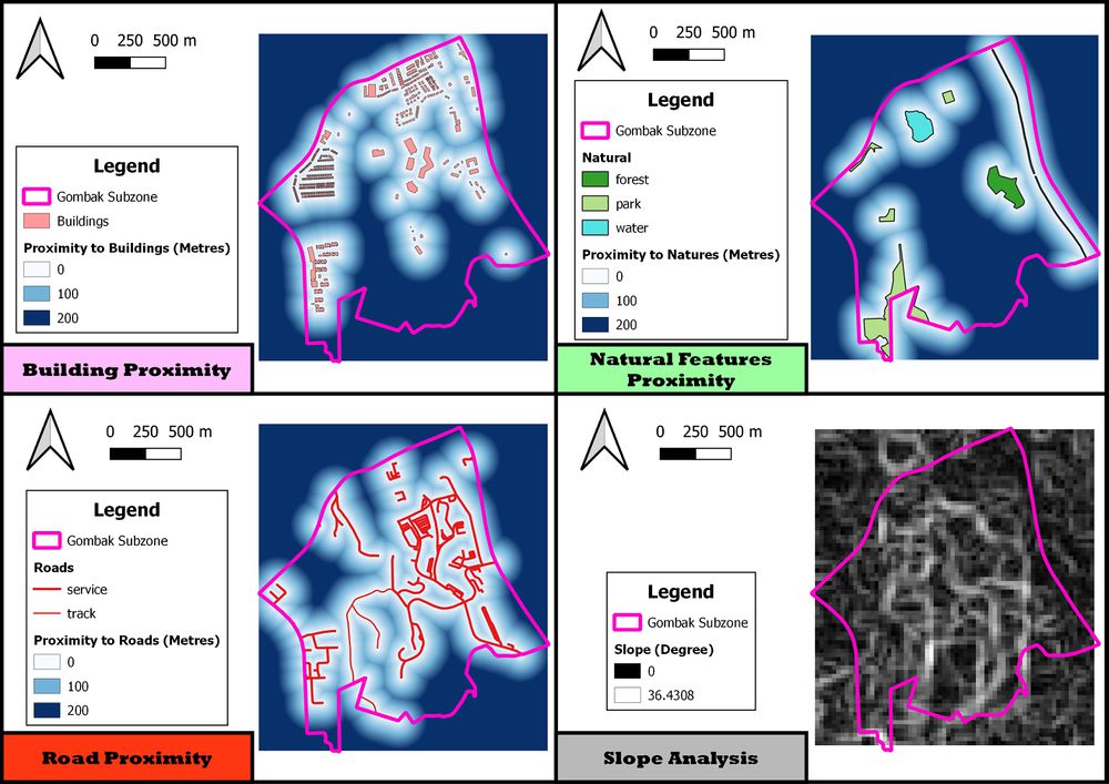
| − | + | [[File:Proxi4.jpg|1000px|frameless|center]] | |
<div class="Frame" style="{{Round corners}}; background: #dcc5fc; text-align: center; padding: 0px; font-size: 180%;"><font face="arial" color="#6B00A8" size="+1"><b>Proximity to Buildings</b></font></div></div> | <div class="Frame" style="{{Round corners}}; background: #dcc5fc; text-align: center; padding: 0px; font-size: 180%;"><font face="arial" color="#6B00A8" size="+1"><b>Proximity to Buildings</b></font></div></div> | ||
Revision as of 14:43, 10 November 2019
National Communicable Disease Quarantine Centre Land Suitability Analysis

Proximity to Buildings