Difference between revisions of "SMT201 AY2019-20T1 EX2 Erika Aldisa Gunawan"
Jump to navigation
Jump to search

| Line 11: | Line 11: | ||
[[File:Roads.jpg|left|600px|testtesttest]] | [[File:Roads.jpg|left|600px|testtesttest]] | ||
text text text ... | text text text ... | ||
| + | <br> | ||
=== Gombak buildings === | === Gombak buildings === | ||
Revision as of 04:07, 10 November 2019
Contents
Take Home Exercise 2
Task: identify a location suitable for building a national Communicable Disease Quarantine Centre in Gombak planning subzone with a contiguous area of at least 10,000m2
1.Map Layout of Study Area
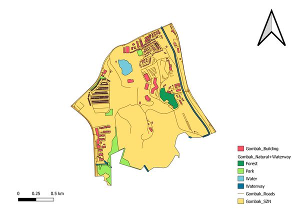
Composite map

This is the composite map of Gombak planning subzone which contains the building layer, natural features layer which consists of both Waterway and Natural layers combined through Union and the road layer. This map will be the base map of our further analysis.
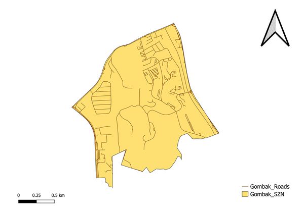
Gombak roads
... text text text

text text text ...
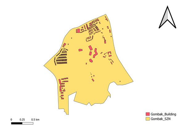
Gombak buildings
... text text text

text text text ...
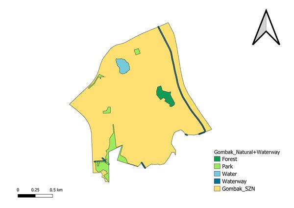
Gombak natural features

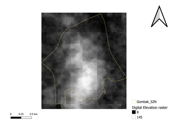
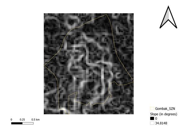
Gombak digital elevation

2.Map Layout of Study Area with Proximity
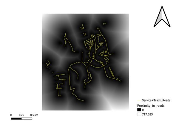
Proximity to target roads

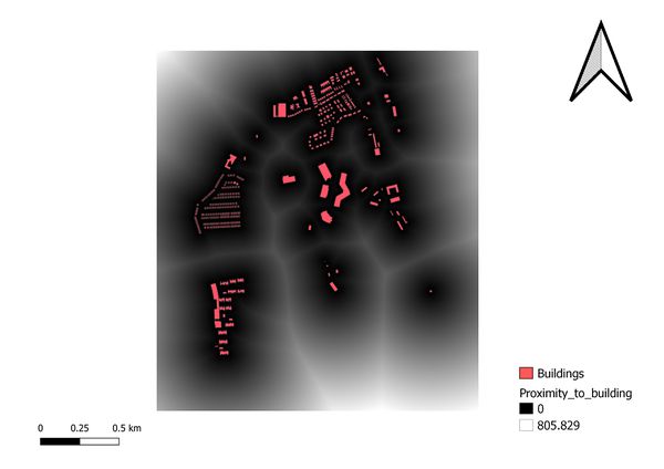
Proximity to buildings

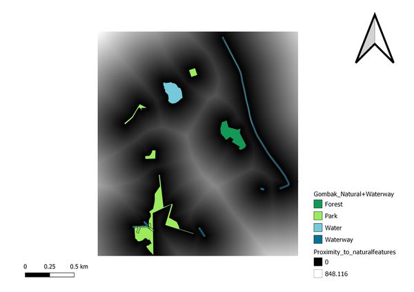
Proximity to target natural features

Proximity to slope

3.Map Layout of Study Area with Ranked Proximity
Ranked Proximity to target roads

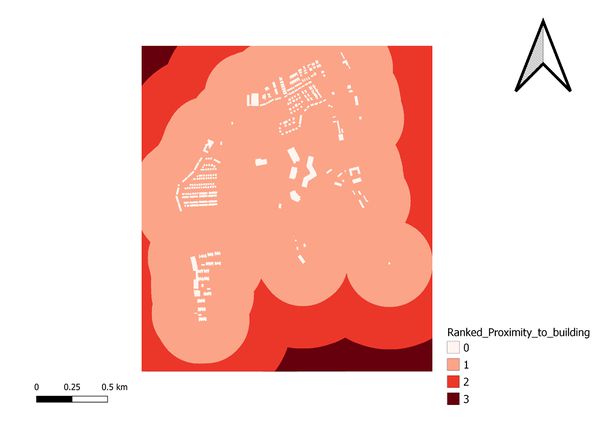
Ranked Proximity to buildings

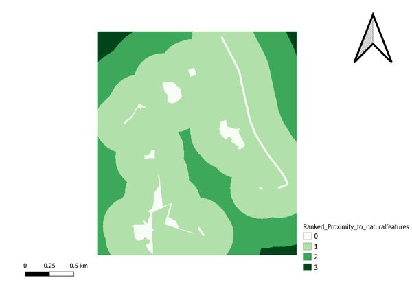
Ranked Proximity to target natural features

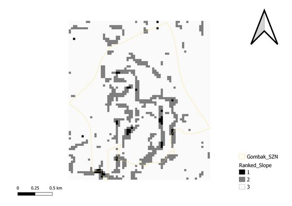
Binary Proximity to slope
