Difference between revisions of "SMT201 AY2019-20G2 EX2 Kim Chang Heon"
Jump to navigation
Jump to search
Chkim.2018 (talk | contribs) |
Chkim.2018 (talk | contribs) |
||
| Line 50: | Line 50: | ||
{| align=center width = 100% | {| align=center width = 100% | ||
| − | ! style="text-align: center; width:20em; height: 1em; border:5px ridge | + | ! style="text-align: center; width:20em; height: 1em; border:5px ridge blue; font-weight:bold; font-size:25px; font-family:Times New Roman !important;; background-color:White; color: Black;"| NATURAL FEATURES |
|} | |} | ||
Revision as of 15:47, 9 November 2019
| OVERVIEW | PROXIMITY MAPS | CRITERION SCORES | AHP | RECOMMENDATION |
|---|
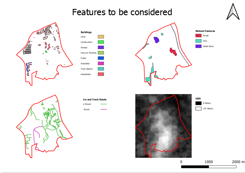
| BUILDINGS |
|---|
| . |
| ROADS |
|---|
| Roads. |
| NATURAL FEATURES |
|---|
| . |
| DIGITAL ELEVATION MODEL |
|---|
| . |
