Difference between revisions of "SMT201 AY2019-20G1 Ex2 Yiap Mei Lin Andrea"
Jump to navigation
Jump to search
| Line 27: | Line 27: | ||
=== Target natural features layer proximity=== | === Target natural features layer proximity=== | ||
| + | <br> [[File:Pt2 natural prox.jpg|600px|center]] <br> | ||
| + | |||
=== with slope layer === | === with slope layer === | ||
== Part 2: Criterion scores of each factor layers == | == Part 2: Criterion scores of each factor layers == | ||
== Part 3: Analytical Hierarchical Process input matrix and result report == | == Part 3: Analytical Hierarchical Process input matrix and result report == | ||
== Part 4: Suitability Land Lot(s) == | == Part 4: Suitability Land Lot(s) == | ||
Revision as of 19:43, 8 November 2019
Contents
Part 1: Map layouts of Gombak planning subzone
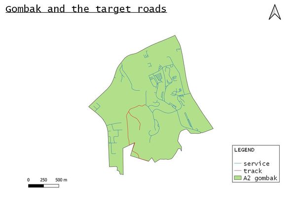
with target roads

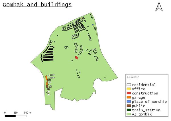
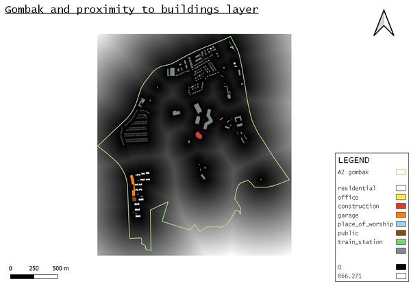
with buildings

For buildings, I grouped these as offices
- "Bukit Panjang Khek Community Guild"
- "Galisian Family Service Centre",
- "Lee Huat Motor Co" and
- "Econ Medicare Centre"
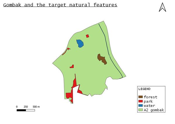
with target natural features

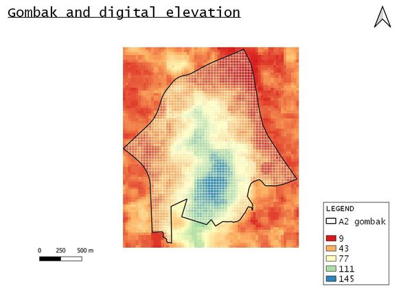
with digital elevation

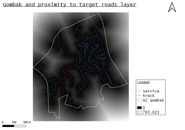
Target roads layer proximity

Buildings layer proximity

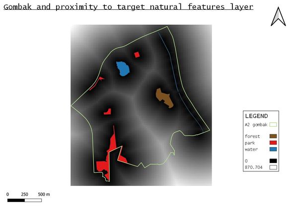
Target natural features layer proximity
