SMT201 AY2019-20G1 Ex2 Yiap Mei Lin Andrea
Contents
Part 1: Map layouts of Gombak planning subzone
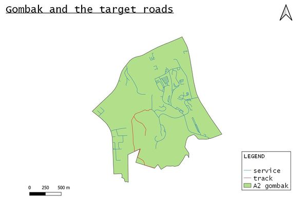
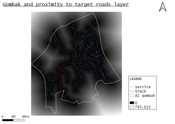
with target roads
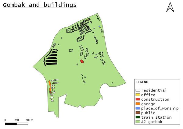
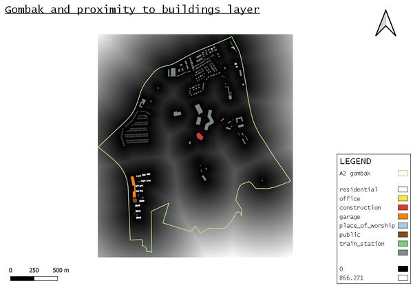
with buildings
For buildings, I grouped these as offices
- "Bukit Panjang Khek Community Guild"
- "Galisian Family Service Centre",
- "Lee Huat Motor Co" and
- "Econ Medicare Centre"
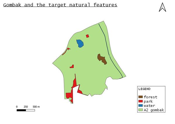
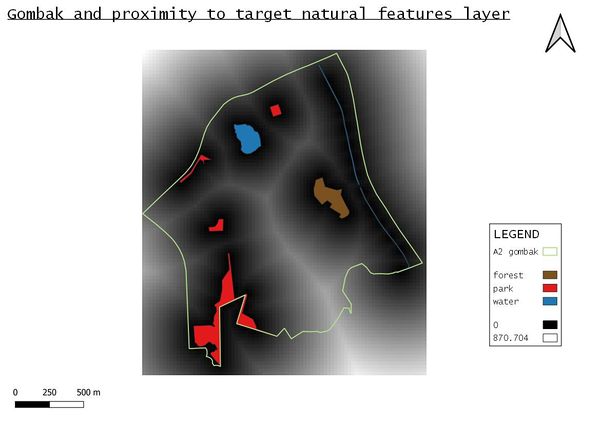
with target natural features
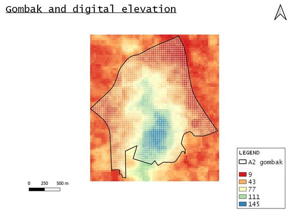
with digital elevation
Target roads layer proximity
Buildings layer proximity
Target natural features layer proximity
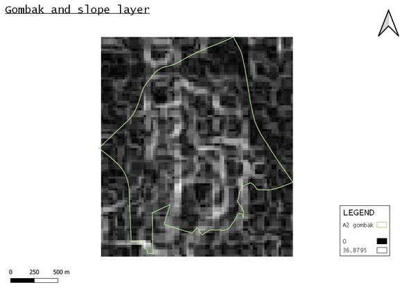
with slope layer
Part 2: Criterion scores of each factor layers
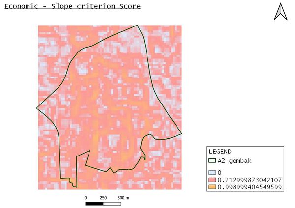
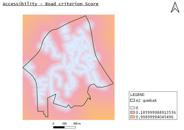
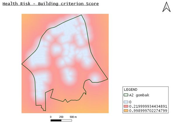
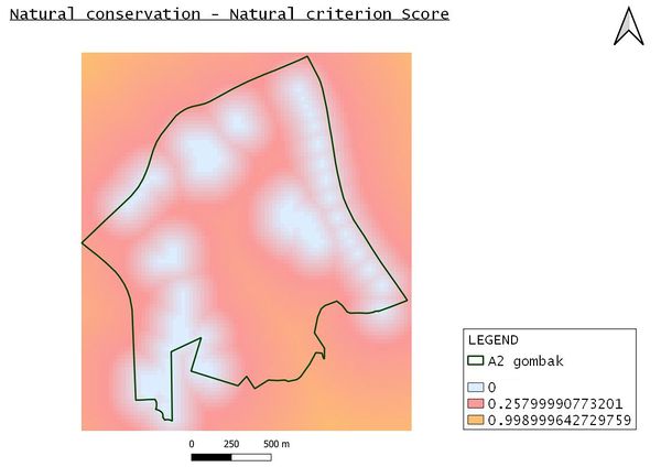
With reference to the legends, the higher the value, the more suitable it is.
Hence, for all the 4 views below, the part that is orange shows that it is the most suitable.
While the part that is light blue shows that it is the least suitable.
Economic Factor
Accessibility Factor
Health risk Factor
Natural conservation Factor
Part 3: Analytical Hierarchical Process input matrix and result report
From the result, it shows that the consistency index is within the acceptable range of 10% or less. According to the percentage output, this is how I viewed which has the most importance (in order):
- Health Risk
- Accessibility
- Economic
- Natural conservation
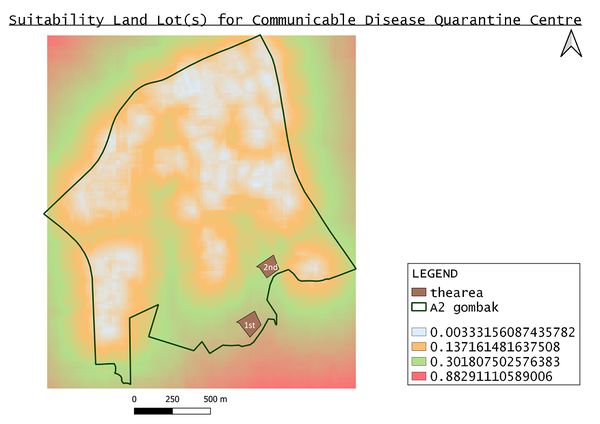
Part 4: Suitability Land Lot(s)
There are two possible land lot(s). The first has an area of 13,591m2 and is the most ideal out of the two as it is the best fit location in meeting all the factors criterions. The second has an area of 10,950m2 and in comparison to the first, is slightly further from the residential buildings which is the utmost importance in the criterion rank. In conclusion, this only serves as a guide in identifying which parts would be suitable. Further analysis such as finding out the residents views of having the centre being built in their area is needed before going ahead with building the centre. Also, going down in person to check out the two locations identified is needed to verify its suitability.
