Difference between revisions of "SMT201 AY2019-20T1 EX2 Kong Yi Ru Kaelyn"
Jump to navigation
Jump to search
| Line 15: | Line 15: | ||
| 3. Natural Conservation Factor || Natural Features | | 3. Natural Conservation Factor || Natural Features | ||
|- | |- | ||
| − | | 4. Economic Factor || Slope | + | | 4. Economic Factor || Slope|} |
| − | |||
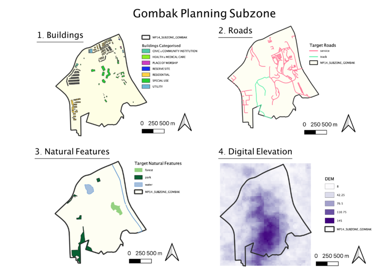
[[File:Takehome2.png|800px|frameless|center]] | [[File:Takehome2.png|800px|frameless|center]] | ||
Revision as of 12:13, 10 November 2019
Background of Study Area
Gombak Planning Subzone, or Bukit Gombak, is located in Bukit Batok Planning Area, in the central-west part of Singapore. In order to identify the most suitable location for building a national Communicable Disease Quarantine Centre, we will be studying both natural and man-made features present and weighing each feature’s importance in deciding where is most suitable.
Initial Analysis of Study Area
We will be analyzing four features, the buildings, roads, natural features, and elevation of the subzone. Each of these features contribute as a decision factor in the following ways.
| Decision Factor | Feature Analysed |
|---|---|
| 1. Health Risk Factor | Buildings |
| 2. Accessibility Factor | Roads |
| 3. Natural Conservation Factor | Natural Features |
| 4. Economic Factor | } |
