Difference between revisions of "File:Gombak OSM James.png"
Jump to navigation
Jump to search
(No difference)
|
Latest revision as of 11:01, 9 November 2019
Data Source: Master Plan 2014 Subzone Boundary from URA. OpenStreetMap.
File history
Click on a date/time to view the file as it appeared at that time.
| Date/Time | Thumbnail | Dimensions | User | Comment | |
|---|---|---|---|---|---|
| current | 11:01, 9 November 2019 | 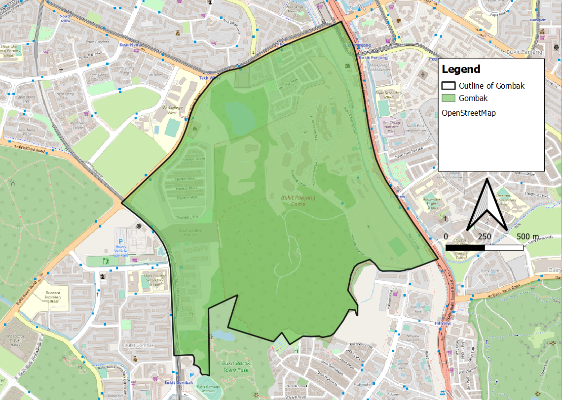 | 1,139 × 812 (929 KB) | James.lim.2018 (talk | contribs) |
- You cannot overwrite this file.
File usage
The following page links to this file: