Difference between revisions of "G1-Group03 Poster"
Jump to navigation
Jump to search
| Line 30: | Line 30: | ||
=<div style="margin-top: 10px;font-family: Century Gothic;font-weight:bold;text-align:center;font-size:20px; border: 5px solid #00000000; border-radius:8px;text-align:center; background-color: #000080; color: white; padding: 2px"><span style="font-size:24px;"></span>Description</div>= | =<div style="margin-top: 10px;font-family: Century Gothic;font-weight:bold;text-align:center;font-size:20px; border: 5px solid #00000000; border-radius:8px;text-align:center; background-color: #000080; color: white; padding: 2px"><span style="font-size:24px;"></span>Description</div>= | ||
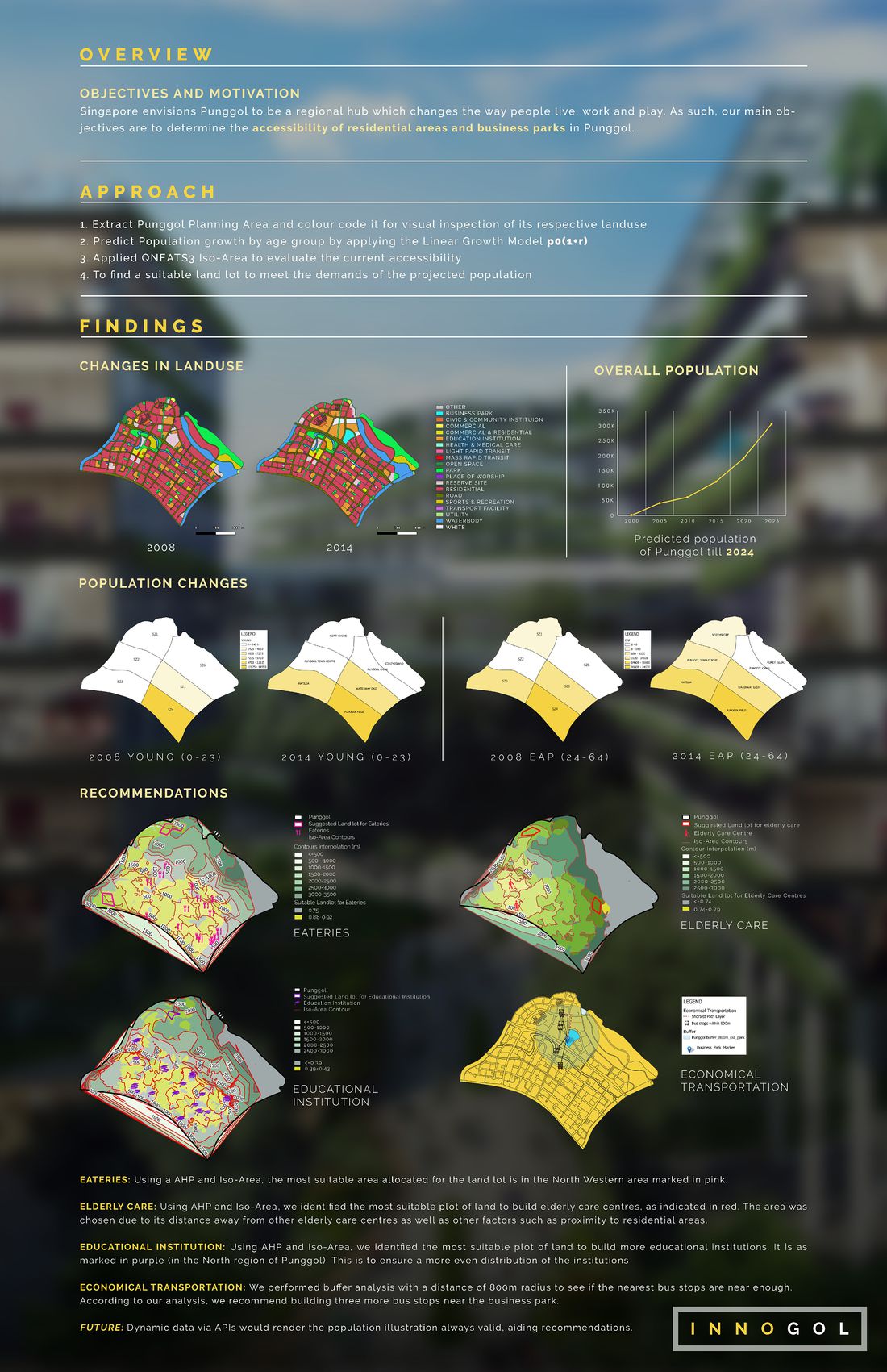
| − | <B> Due to the large size of the file, please refer to the file submitted via elearn for a clearer view of the text and map layouts </B> | + | <B style= "font-size:32px;"> Due to the large size of the file, please refer to the file submitted via elearn for a clearer view of the text and map layouts </B> |
