File:Minimum-Maximum Formula JeromeQuah.jpg
Jump to navigation
Jump to search
No higher resolution available.
Minimum-Maximum_Formula_JeromeQuah.jpg (599 × 176 pixels, file size: 19 KB, MIME type: image/jpeg)
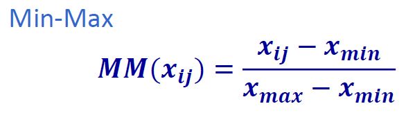
Min-Max Formula for Proximity Map Normalization.
File history
Click on a date/time to view the file as it appeared at that time.
| Date/Time | Thumbnail | Dimensions | User | Comment | |
|---|---|---|---|---|---|
| current | 03:03, 9 November 2019 | 599 × 176 (19 KB) | Jerome.quah.2018 (talk | contribs) |
- You cannot overwrite this file.
File usage
The following page links to this file: