File:Master Plan 2014 Land Use.png
Jump to navigation
Jump to search
No higher resolution available.
Master_Plan_2014_Land_Use.png (616 × 406 pixels, file size: 170 KB, MIME type: image/png)
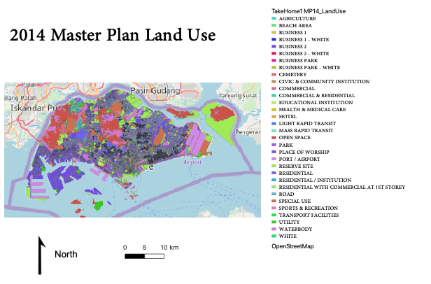
Master Plan 2014 Land Use
File history
Click on a date/time to view the file as it appeared at that time.
| Date/Time | Thumbnail | Dimensions | User | Comment | |
|---|---|---|---|---|---|
| current | 23:50, 15 September 2019 | | 616 × 406 (170 KB) | Jttan.2018 (talk | contribs) |
- You cannot overwrite this file.
File usage
The following 2 pages link to this file: