Difference between revisions of "ISSS608 2016 17T3 Group12 Report"
Jump to navigation
Jump to search
| Line 45: | Line 45: | ||
|-style="vertical-align: top;horizontal-align: center;" | |-style="vertical-align: top;horizontal-align: center;" | ||
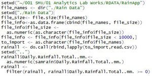
| Load crawled data from NEA and combine to one .csv | | Load crawled data from NEA and combine to one .csv | ||
| − | | [[File:G12-ScriptLoad.JPG| | + | | [[File:G12-ScriptLoad.JPG|300px|center|]] |
| − | | [[File:G12-OutLoad.JPG| | + | | [[File:G12-OutLoad.JPG|550px|center|]] |
|-style="vertical-align: top;horizontal-align: center;" | |-style="vertical-align: top;horizontal-align: center;" | ||
| Fix Format Date, for Month and Week, including tidy-ing relevant column | | Fix Format Date, for Month and Week, including tidy-ing relevant column | ||
| − | | [[File:G12-ScriptDate.JPG| | + | | [[File:G12-ScriptDate.JPG|300px|center|]] |
| − | | [[File:G12-OutDate.JPG| | + | | [[File:G12-OutDate.JPG|500px|center]] |
|-style="vertical-align: top;horizontal-align: center;" | |-style="vertical-align: top;horizontal-align: center;" | ||
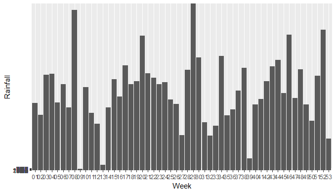
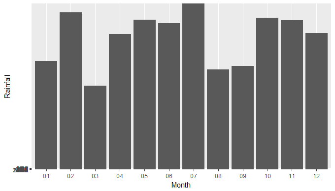
| Transform Month and Week to Factors which would let the data be project to the Bar Graph | | Transform Month and Week to Factors which would let the data be project to the Bar Graph | ||
Revision as of 23:02, 6 August 2017
|
|
|
|
|
Contents
Application
The RainyApp can be accessed through:
insert link here.
Methodology
Data Preparation
| Description | R Script | Output |
|---|---|---|
| Load crawled data from NEA and combine to one .csv | ||
| Fix Format Date, for Month and Week, including tidy-ing relevant column | ||
| Transform Month and Week to Factors which would let the data be project to the Bar Graph | ||
| Project the Bar Graph by Monthly and Weekly |
Geospatial Interpolation
| Description | R Script | Output | |
|---|---|---|---|
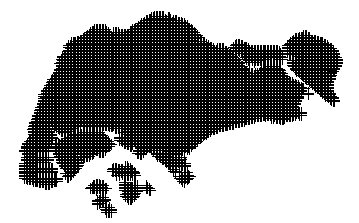
| Load the Shapefile and use it to create the map with a grid | |||
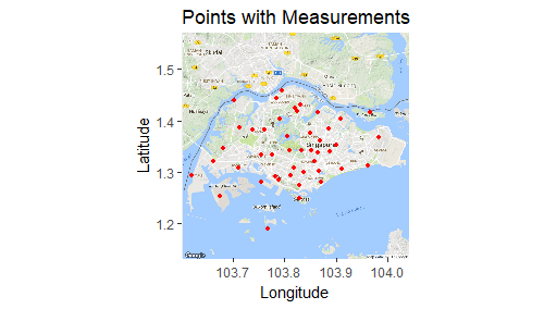
| Load the coordinates of each weather station and project it to the map | |||
| Filter the rainfall data based on the filter timeframe | |||
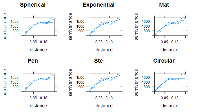
| Run the fit model for the variogram | |||
| Perform the Kriging based on the best fit variogram | |||
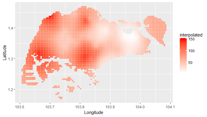
| Plot the interpolated values to the SG map |
Shiny Application
| Description | R Script | Output |
|---|---|---|
| row 1, cell 1 | row 1, cell 2 | row 1, cell 3 |
| row 2, cell 1 | row 2, cell 2 | row 2, cell 3 |
