Difference between revisions of "SMT483G2: MapSmoo Project Overview"

From SMT Project Experience
Jump to navigation Jump to search
 
(3 intermediate revisions by the same user not shown)
Line 47: Line 47:
  
 
<!-- Body -->
 
<!-- Body -->
<div style="background: #82AE96; padding: 20px; line-height: 0.2em; text-indent: 0px;letter-spacing:0.1em;font-size:18px"><font color=#fbfcfd face="Bebas Neue">PROJECT DESCRIPTION</font></div>
+
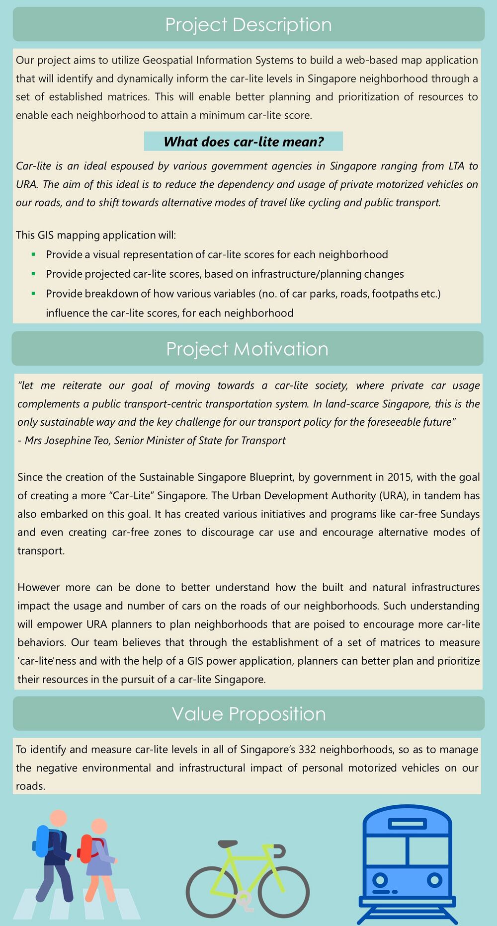
[[File:MapSmoo Project Overview .jpg|1000px|frameless|center|Project Overview]]
{| class="wikitable" style="background-color:#82AE96;" width="100%"; style="text-align: justify
 
|-
 
|
 
Our project aims to utilize Geospatial Information Systems to build a web-based map application that will identify and dynamically inform the car-lite levels in Singapore neighborhood through a set of established matrices. This will enable better planning and prioritisation of resources to enable each neighborhood to attain a minimum car-lite score.
 
<br><br>
 
''' ''What does car-lite mean?'' '''<br>
 
''Car-lite is an ideal espoused by various government agencies in Singapore ranging from LTA to URA. The aim of this ideal is to reduce the dependency and usage of private motorized vehicles on our roads, and to shift towards alternative modes of travel like cycling and public transport.''
 
<br><br>
 
This GIS mapping application will:
 
*Provide a visual representation of car-lite scores for each neighborhood
 
*Provide projected car-lite scores, based on infrastructure/planning changes 
 
*Provide breakdown of how various variables (no. of car parks, roads, footpaths etc.) influence the car-lite scores, for each neighborhood
 
|-
 
|}


<div style="background: #82AE96; padding: 20px; line-height: 0.2em; text-indent: 0px;letter-spacing:0.1em;font-size:18px"><font color=#fbfcfd face="Bebas Neue">PROJECT MOTIVATION & BENEFIT TO SOCIETY</font></div>
 
{| class="wikitable" style="background-color:#82AE96;" width="100%"; style="text-align: justify
 
|-
 
|
 
'' “let me reiterate our goal of moving towards a car-lite society, where private car usage complements a public transport-centric transportation system. In land-scarce Singapore, this is the only sustainable way and the key challenge for our transport policy for the foreseeable future” - Mrs Josephine Teo, Senior Minister of State for Transport ''
 
<br><br>
 
Since the creation of the Sustainable Singapore Blueprint, by government in 2015, with the goal of creating a more “Car-Lite” Singapore. The Urban Development Authority (URA), in tandem has also embarked on this goal. It has created various initiatives and programs like car-free Sundays and even creating car-free zones to discourage car use and encourage alternative modes of transport.
 
<br><br>
 
However more can be done to better understand how the built and natural infrastructures impact the usage and number of cars on the roads of our neighborhoods. Such understanding will empower URA planners to plan neighborhoods that are poised to encourage more car-lite behaviors. Our team believes that through the establishment of a set of matrices to measure 'car-lite'ness and with the help of a GIS power application, planners can better plan and prioritize their resources in the pursuit of a car-lite Singapore.
 
|-
 
|}


<div style="background: #82AE96; padding: 20px; line-height: 0.2em; text-indent: 0px;letter-spacing:0.1em;font-size:18px"><font color=#fbfcfd face="Bebas Neue">VALUE PROPOSITION</font></div>
 
{| class="wikitable" style="background-color:#82AE96;" width="100%"; style="text-align: justify
 
|-
 
|
 
To identify and measure car-lite levels in all of Singapore’s 311 neighborhoods, so as to manage the negative environmental and infrastructural impact of personal motorized vehicles on our roads.
 
|-
 
|}
 
 
<!-- /Body -->
 
<!-- /Body -->

Latest revision as of 17:31, 25 February 2020