Difference between revisions of "SMT483G2: MapSmoo"

From SMT Project Experience
Jump to navigation Jump to search
Line 29: Line 29:
  
 
<!-- Body -->
 
<!-- Body -->
<div style="background: #82AE96; padding: 20px; line-height: 0.2em; text-indent: 0px;letter-spacing:0.1em;font-size:18px"><font color=#fbfcfd face="Bebas Neue">WHAT ARE WE DOING?</font></div>
+
[[File:Home Project Summary.jpg|900px|frameless|center]]
{| class="wikitable" style="background-color:#82AE96;" width="100%"; style="text-align: justify
 
|-
 
|
 
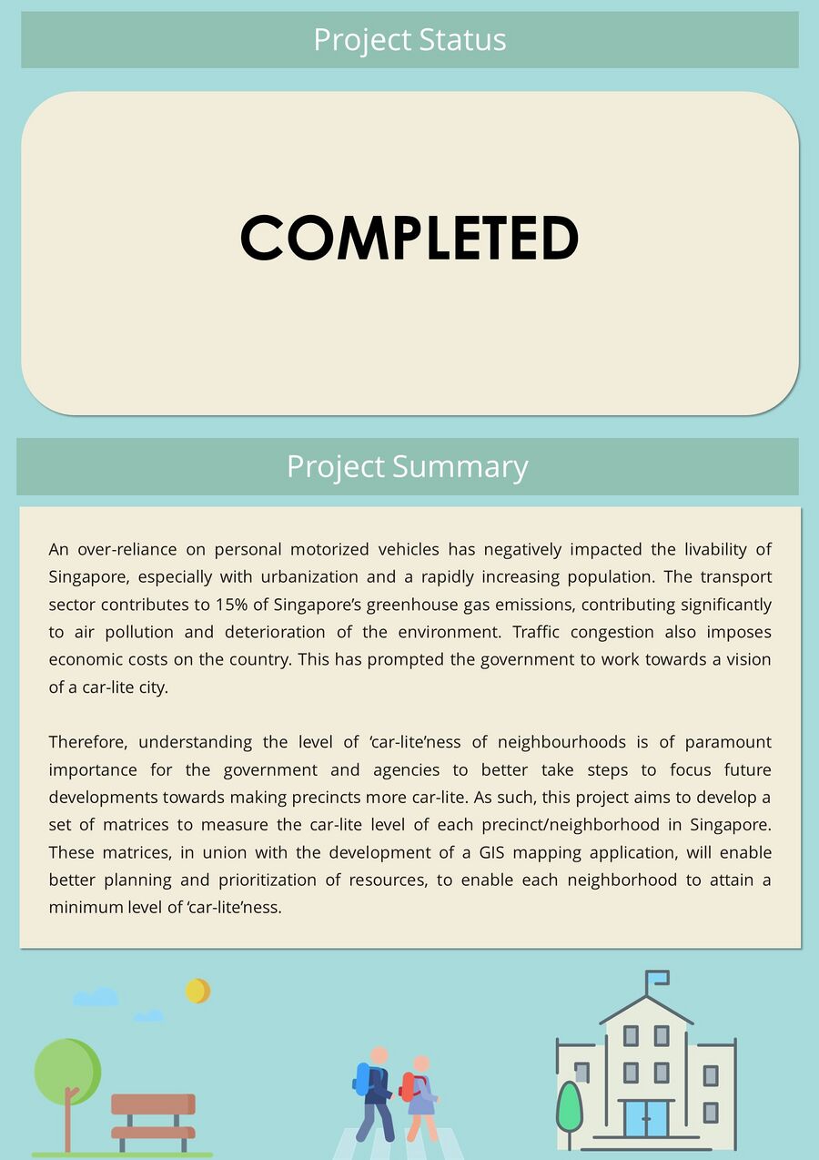
An over-reliance on automobiles has negatively impacted the livability of Singapore, especially with urbanization and a rapidly increasing population. The transport sector contributes to 15% of Singapore’s greenhouse gas emissions, contributing significantly to air pollution and deterioration of the environment. Traffic congestion also imposes economic costs on the country. This has prompted the government to work towards a vision of a car-lite  city.


Therefore, understanding the level of ‘car-lite’ness of precincts is of paramount importance for the government and agencies to better take steps to focus future developments towards making precincts more car-lite. As such, this project aims to develop a set of matrices to measure the car-lite level of each precinct/neighbourhood in Singapore. These matrices in union with a GIS mapping application which will enable better planning and prioritization of resources, to enable each neighbourhood to attain a minimum level of car-lite.
 
|-
 
|}
 
  
 +
<br>
 
<div style="background: #82AE96; padding: 20px; line-height: 0.2em; text-indent: 0px;letter-spacing:0.1em;font-size:18px"><font color=#fbfcfd face="Bebas Neue">PROJECT LEARNING OUTCOMES</font></div>
 
<div style="background: #82AE96; padding: 20px; line-height: 0.2em; text-indent: 0px;letter-spacing:0.1em;font-size:18px"><font color=#fbfcfd face="Bebas Neue">PROJECT LEARNING OUTCOMES</font></div>
 
{| class="wikitable" style="background-color:#82AE96;" width="100%"; style="text-align: justify
 
{| class="wikitable" style="background-color:#82AE96;" width="100%"; style="text-align: justify

Revision as of 03:54, 16 January 2020

Fypbanner.png


HOME


ABOUT US


PROJECT OVERVIEW


PROJECT MANAGEMENT


DOCUMENTATION


Home Project Summary.jpg


PROJECT LEARNING OUTCOMES
  1. Analyze relationships between urban infrastructures and motor vehicle usage
  2. Identify, develop and defend variables and scoring used in car-lite matrices
  3. Plan and execute an application development project
  4. Create a GIS Application Toolkit