File list
Jump to navigation
Jump to search
This special page shows all uploaded files.
File list
Items per page:
20
50
100
250
500
Search for media name:
Username:
Include old versions of files
Go
Date
Name
Thumbnail
Size
Description
Versions
23:14, 9 November 2019
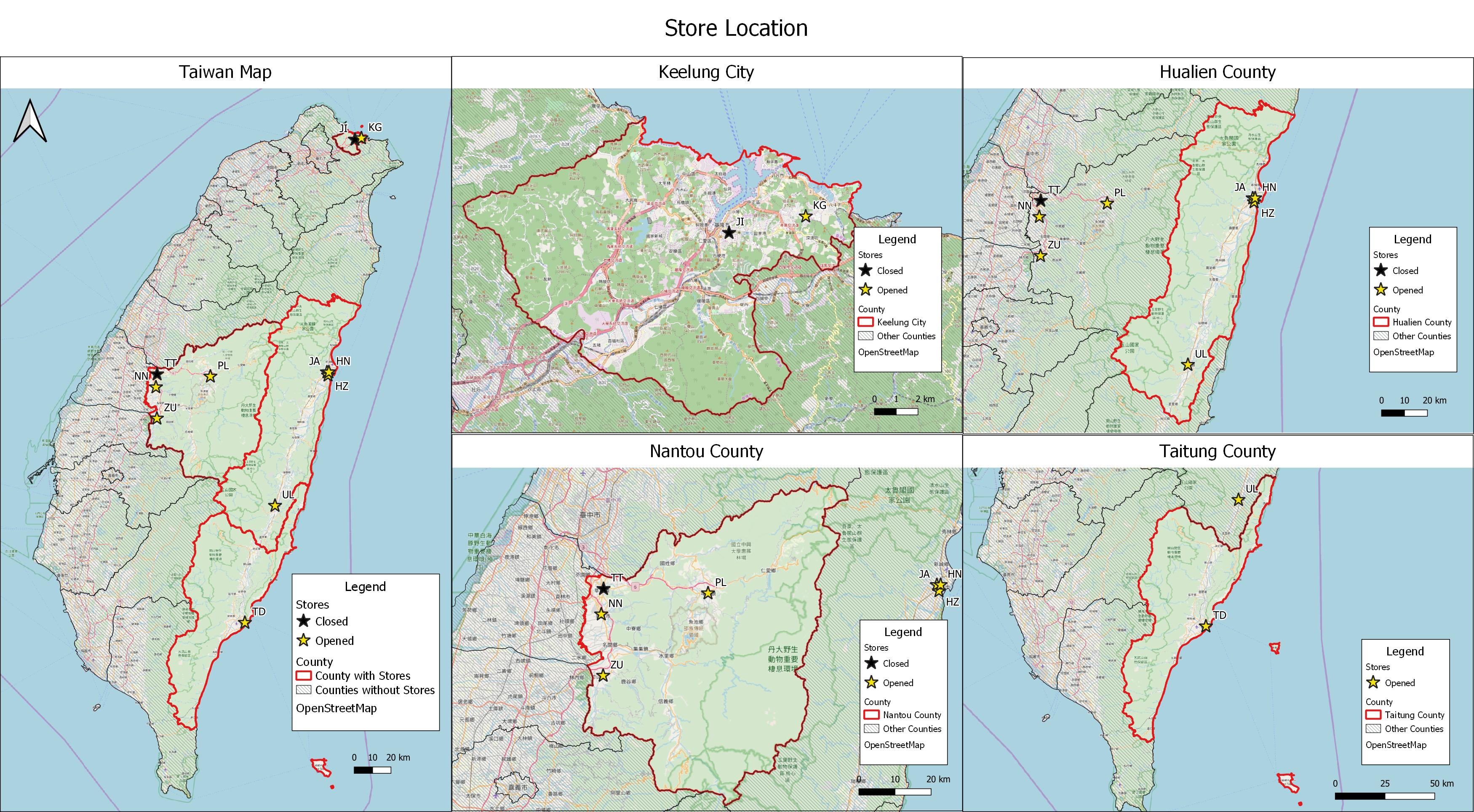
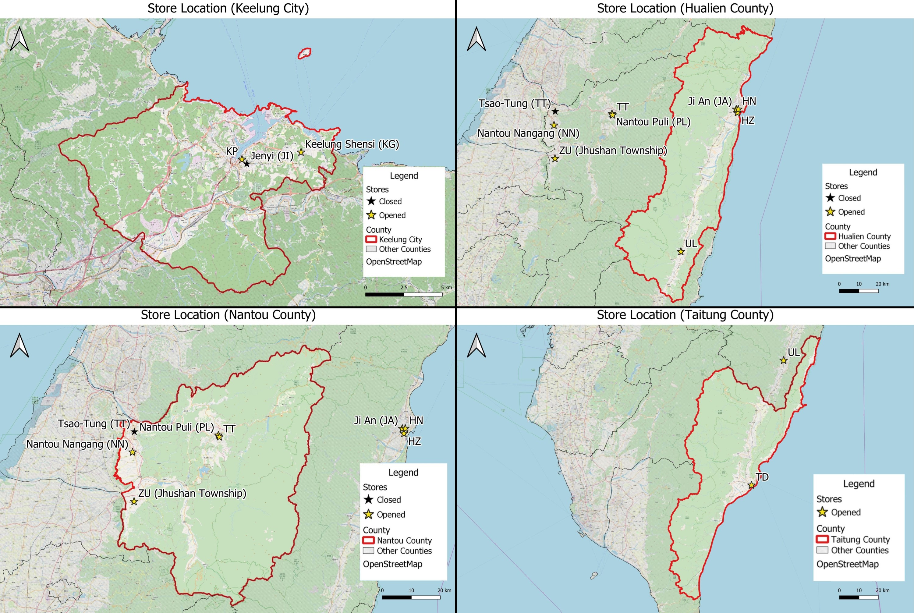
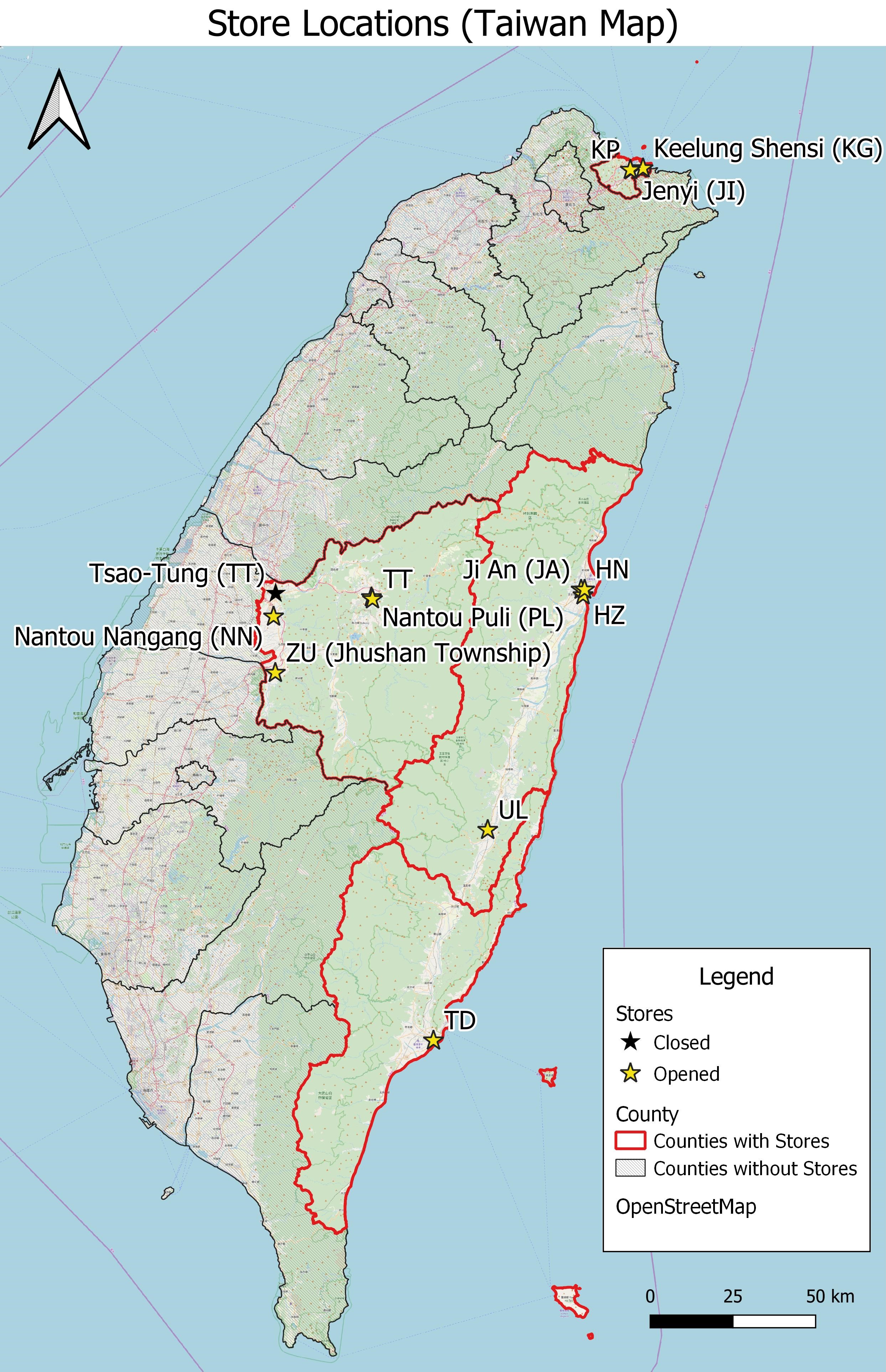
Store Location (All Existing Stores Only).jpg
(
file
)
1.21 MB
Fixed typos
2
10:54, 8 November 2019
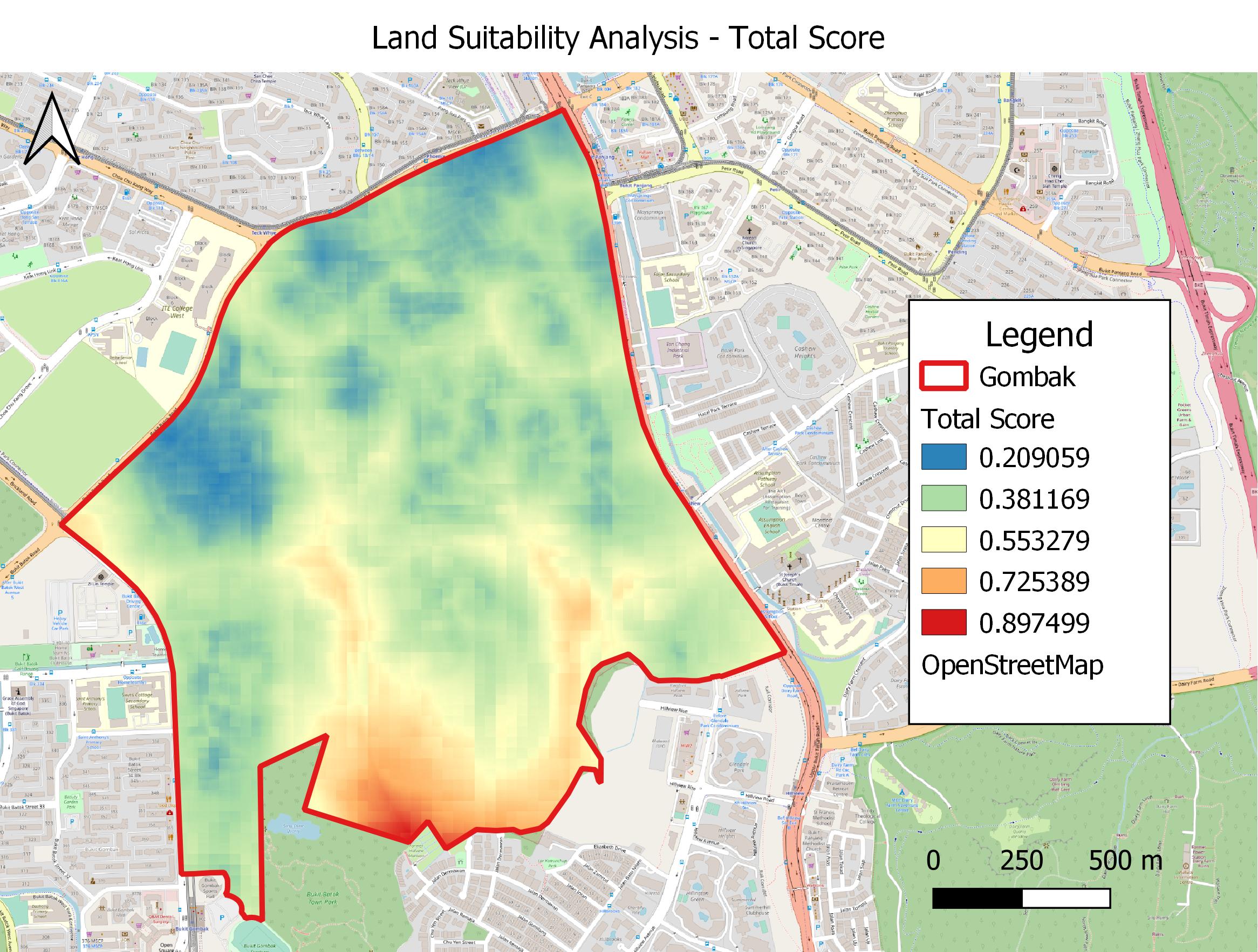
Land Suitability Analysis - Total Score (out of 100%).jpg
(
file
)
553 KB
2
10:53, 8 November 2019
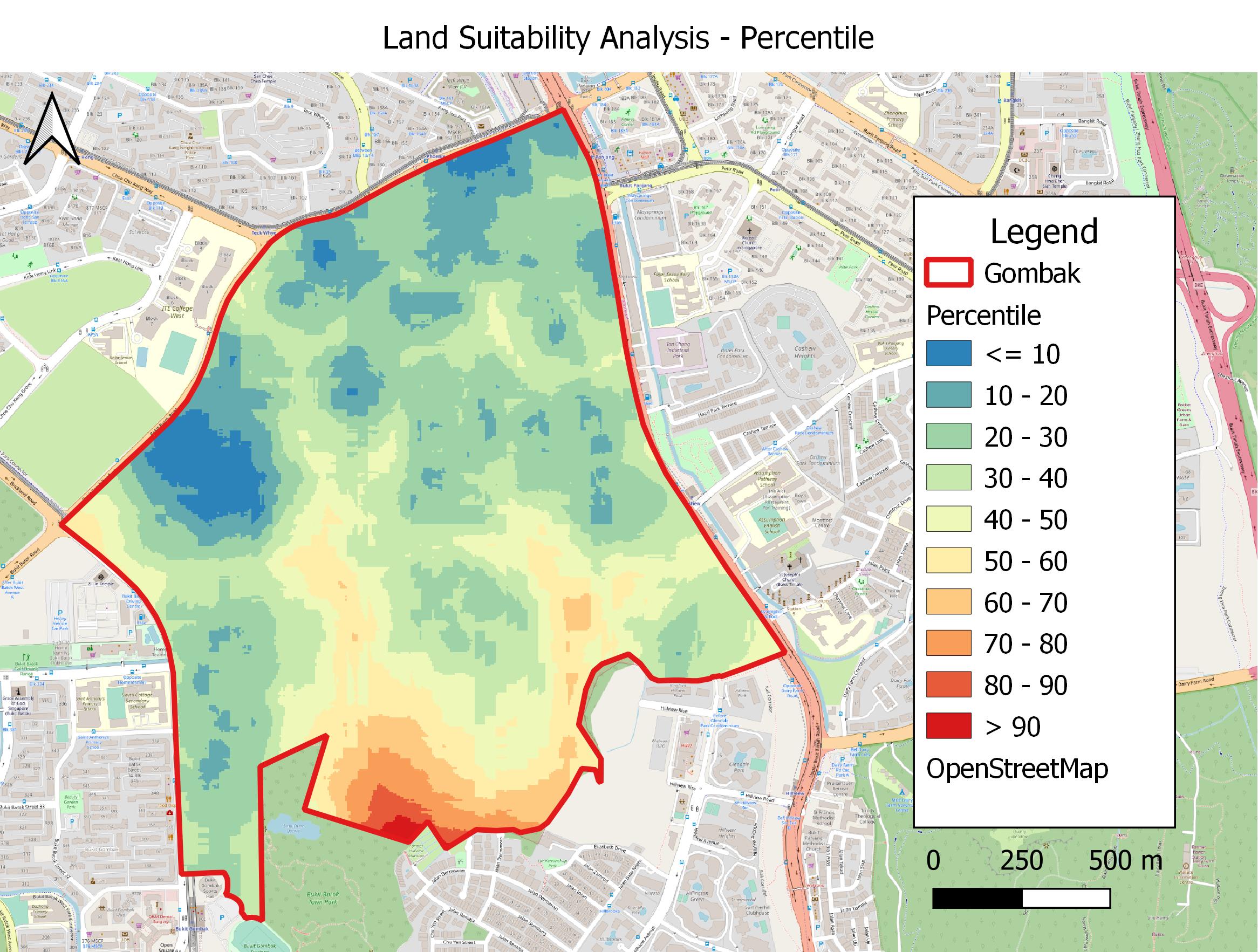
Land Suitability Analysis - Total Score.jpg
(
file
)
566 KB
2
10:47, 8 November 2019
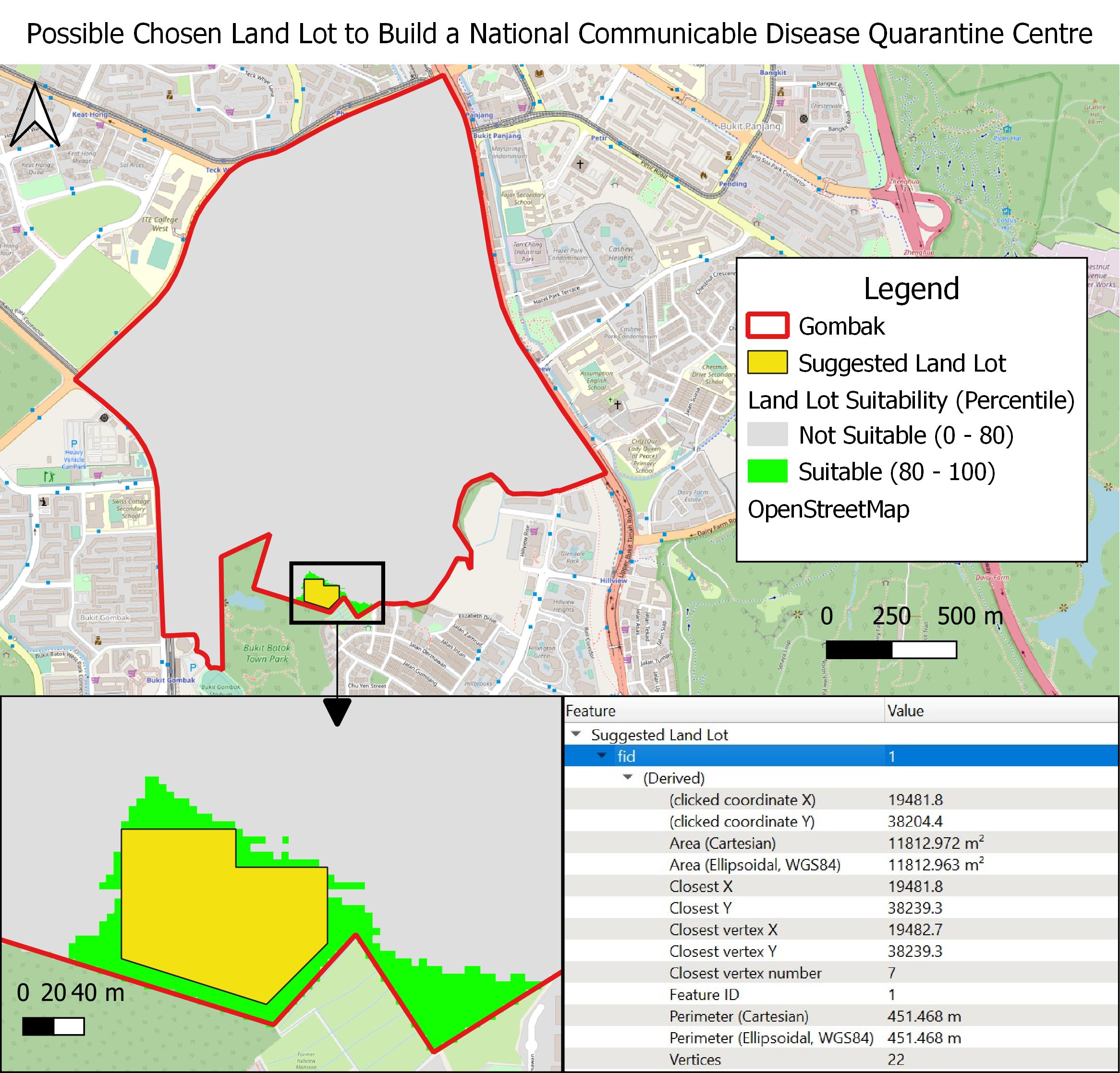
Possible Chosen Land Lot to Build a National Communicable Disease Quarantine Centre.jpg
(
file
)
586 KB
added arrow
3
10:46, 8 November 2019
Suitable Land Lots for Building a National Communicable Disease Quarantine Centre.jpg
(
file
)
536 KB
3
10:33, 8 November 2019
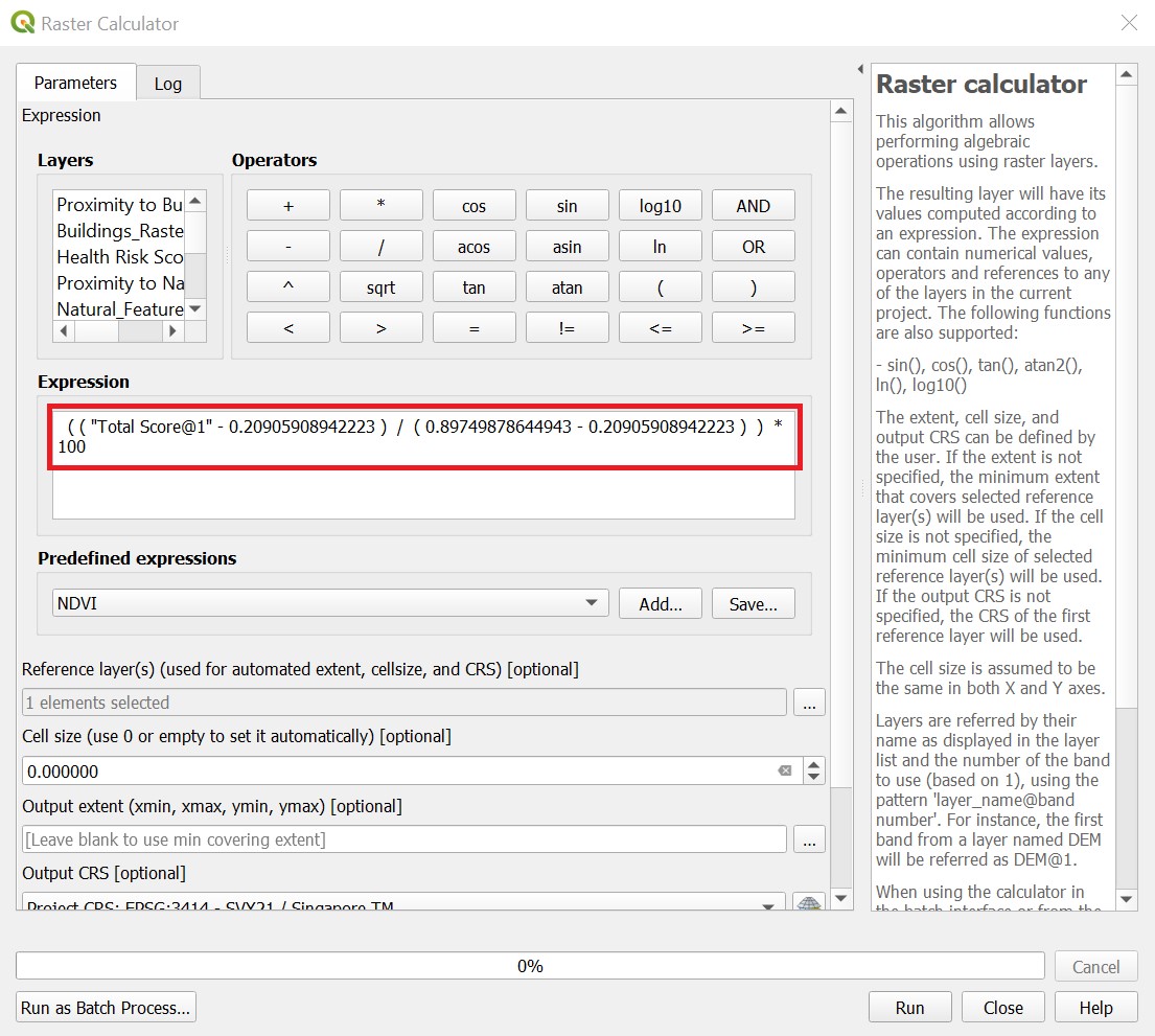
Calculating Land Lot Suitability (Out of 100).jpg
(
file
)
251 KB
2
10:33, 8 November 2019
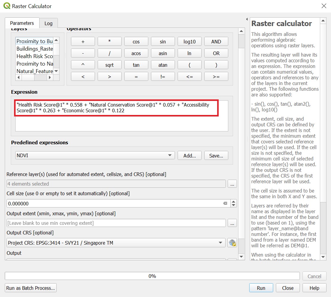
Calculating Land Lot Suitability.jpg
(
file
)
254 KB
2
00:55, 8 November 2019
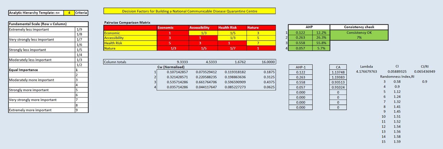
AHP Input Matrix and Result.jpg
(
file
)
129 KB
Fixed consistencies
4
14:21, 7 November 2019
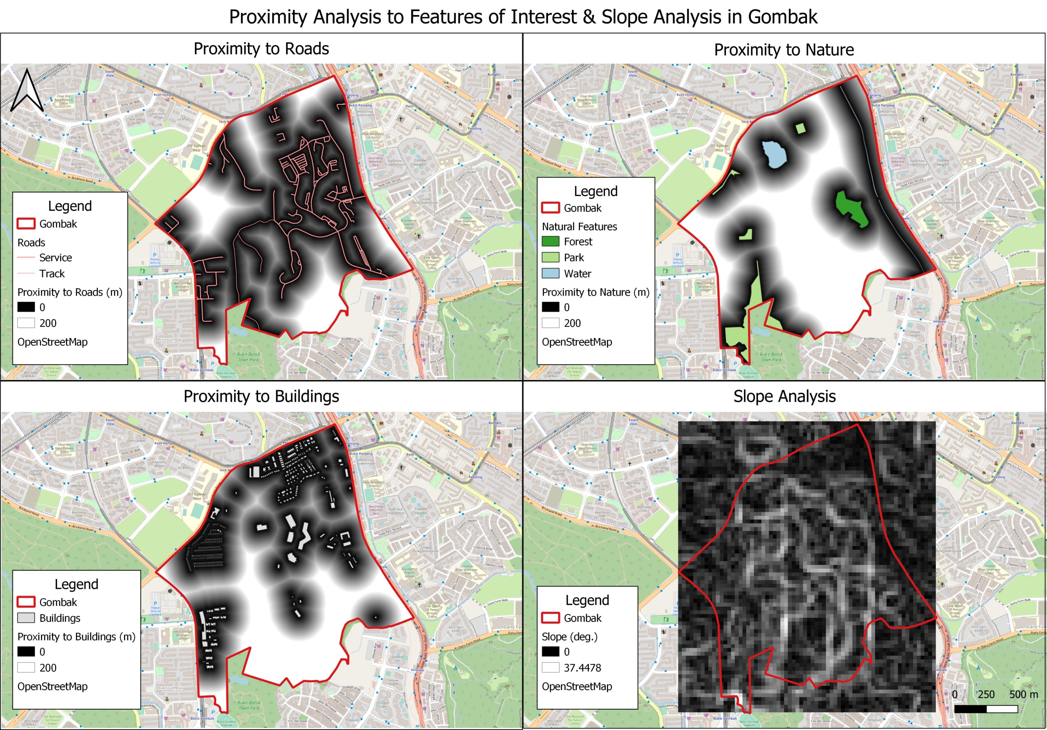
Criterion Scores of the Proximity to Roads, Buildings and Natural Features & Slope Analysis.jpg
(
file
)
1.41 MB
1
21:00, 6 November 2019
Proximity Analysis of Roads, Buildings and Natural Features, and Slope Analysis in Gombak.jpg
(
file
)
1.7 MB
Clipped raster layers to improve aesthetics of map
3
23:29, 4 November 2019
Gombak Planning Subzone with Decision Factors for Building a National Communicable Disease Quarantine Centre.jpg
(
file
)
1.88 MB
Edited North arrow and scale
2
23:27, 4 November 2019
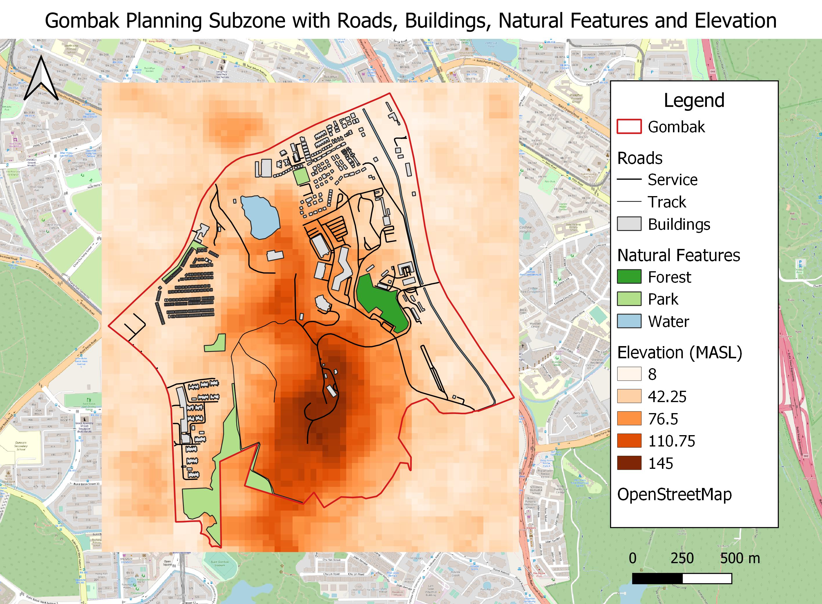
Gombak Planning Subzone with Roads, Buildings, Natural Features and Elevation.jpg
(
file
)
751 KB
Edited legend
2
22:08, 3 November 2019
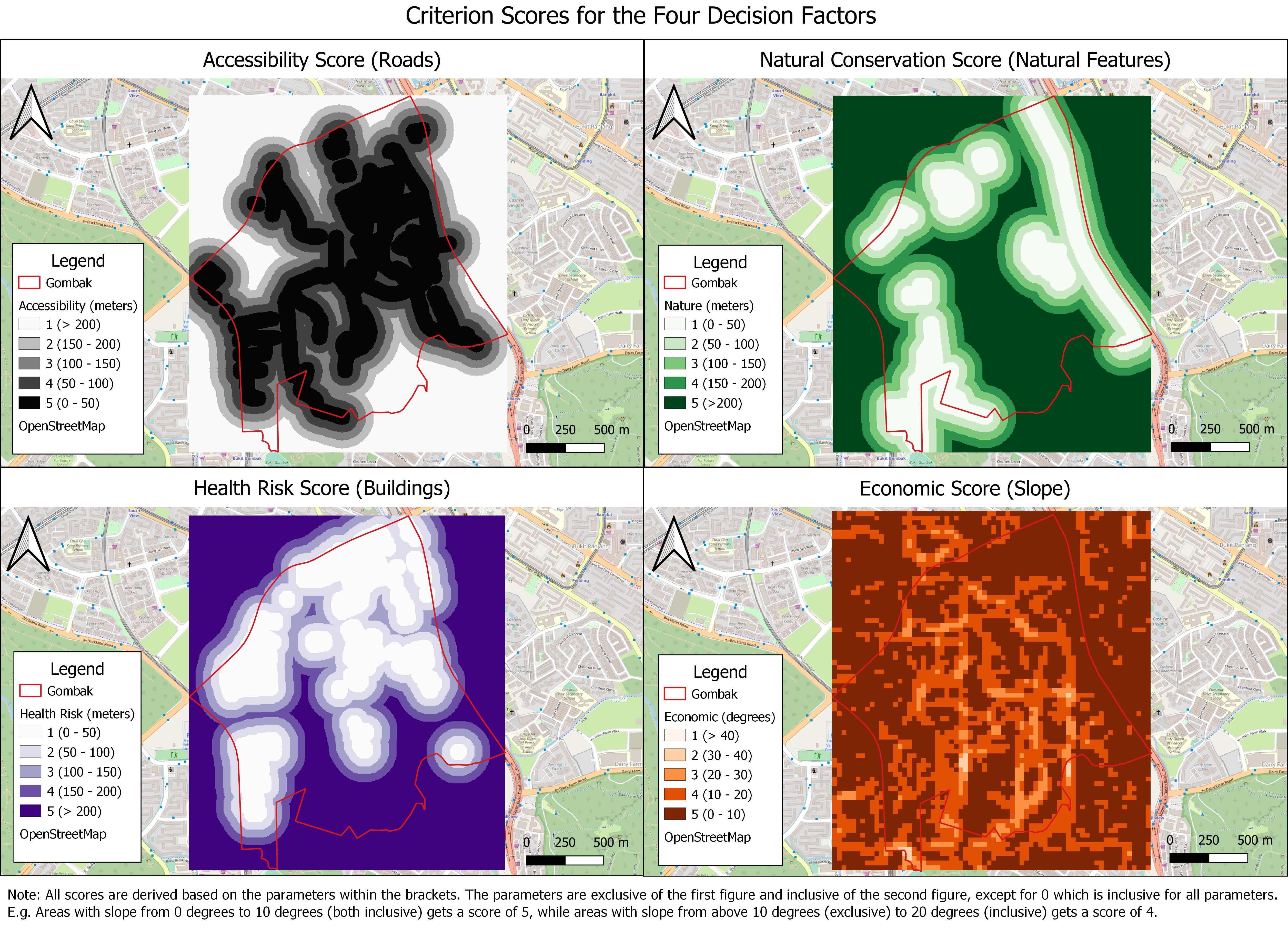
Criterion Scores for the Four Decision Factors.jpg
(
file
)
1.94 MB
1
18:30, 20 October 2019
G1 Group 2 Logo.png
(
file
)
66 KB
increased image resolution
3
13:04, 17 October 2019
TWCounty1.jpg
(
file
)
1.33 MB
Increase legibility of legend
2
12:50, 17 October 2019
Store Location.png
(
file
)
1.63 MB
Shifted legend
6
14:40, 15 September 2019
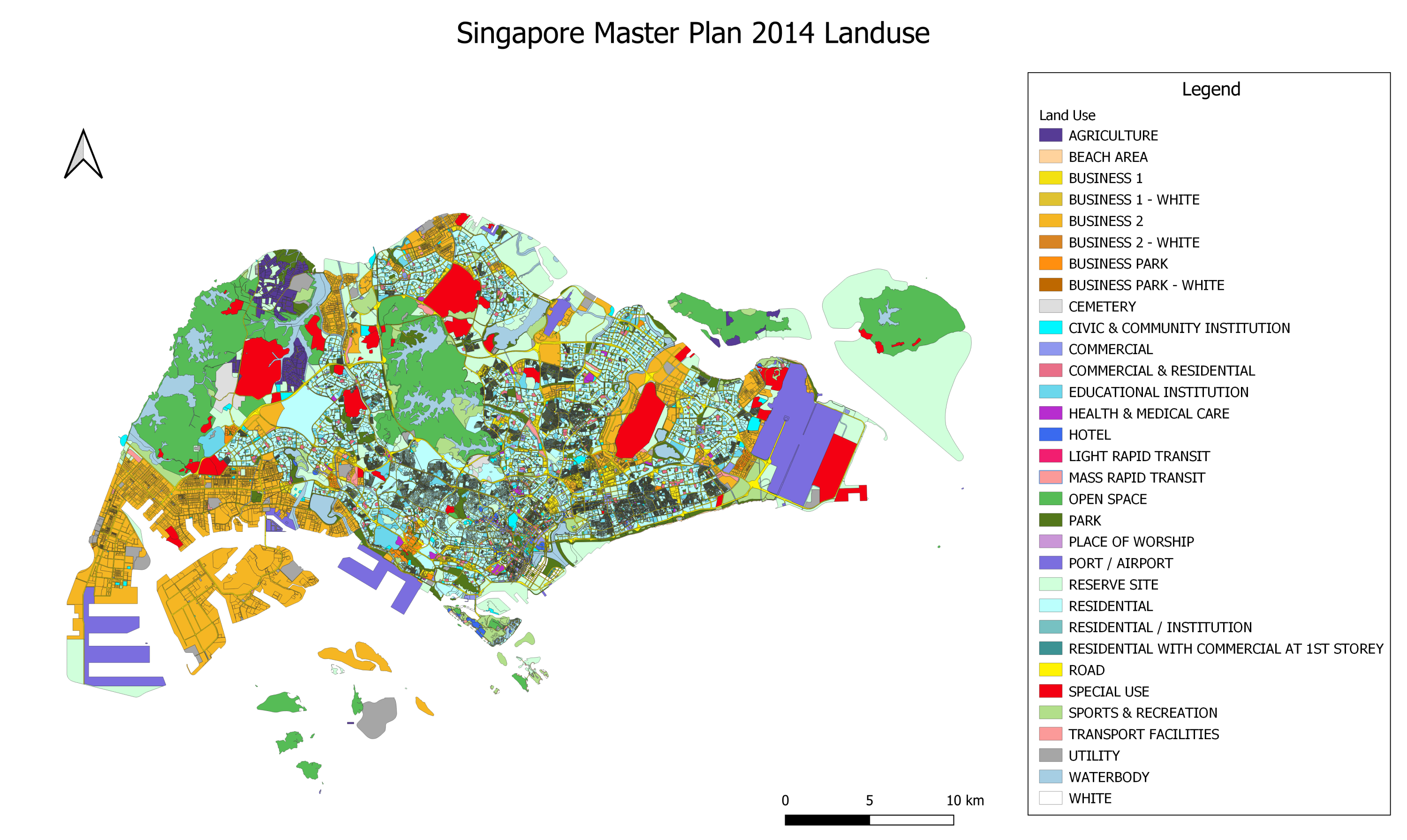
Singapore Master Plan 2014 Landuse.png
(
file
)
1.75 MB
2
13:39, 15 September 2019
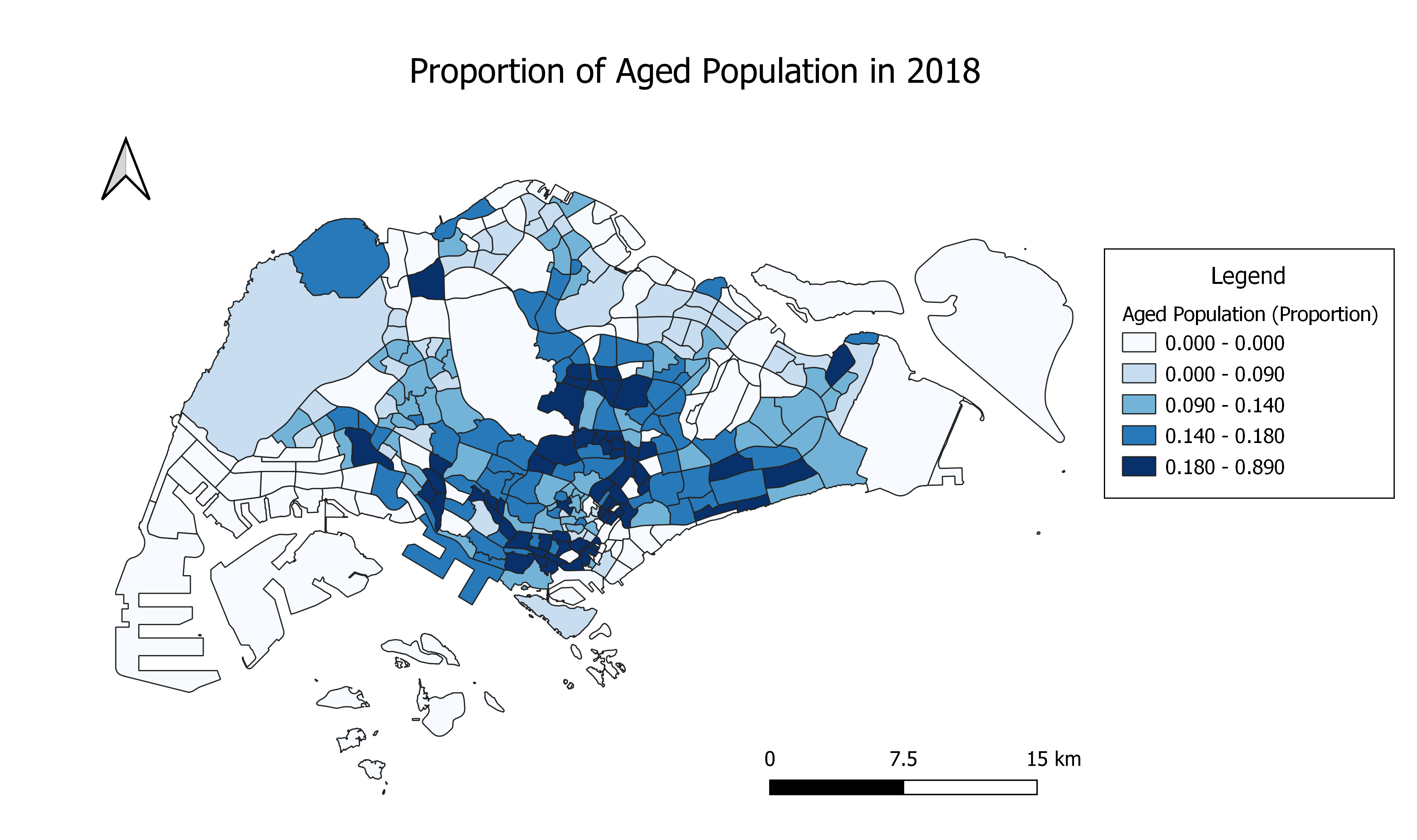
Proportion of Aged Population in 2018.png
(
file
)
721 KB
1
13:39, 15 September 2019
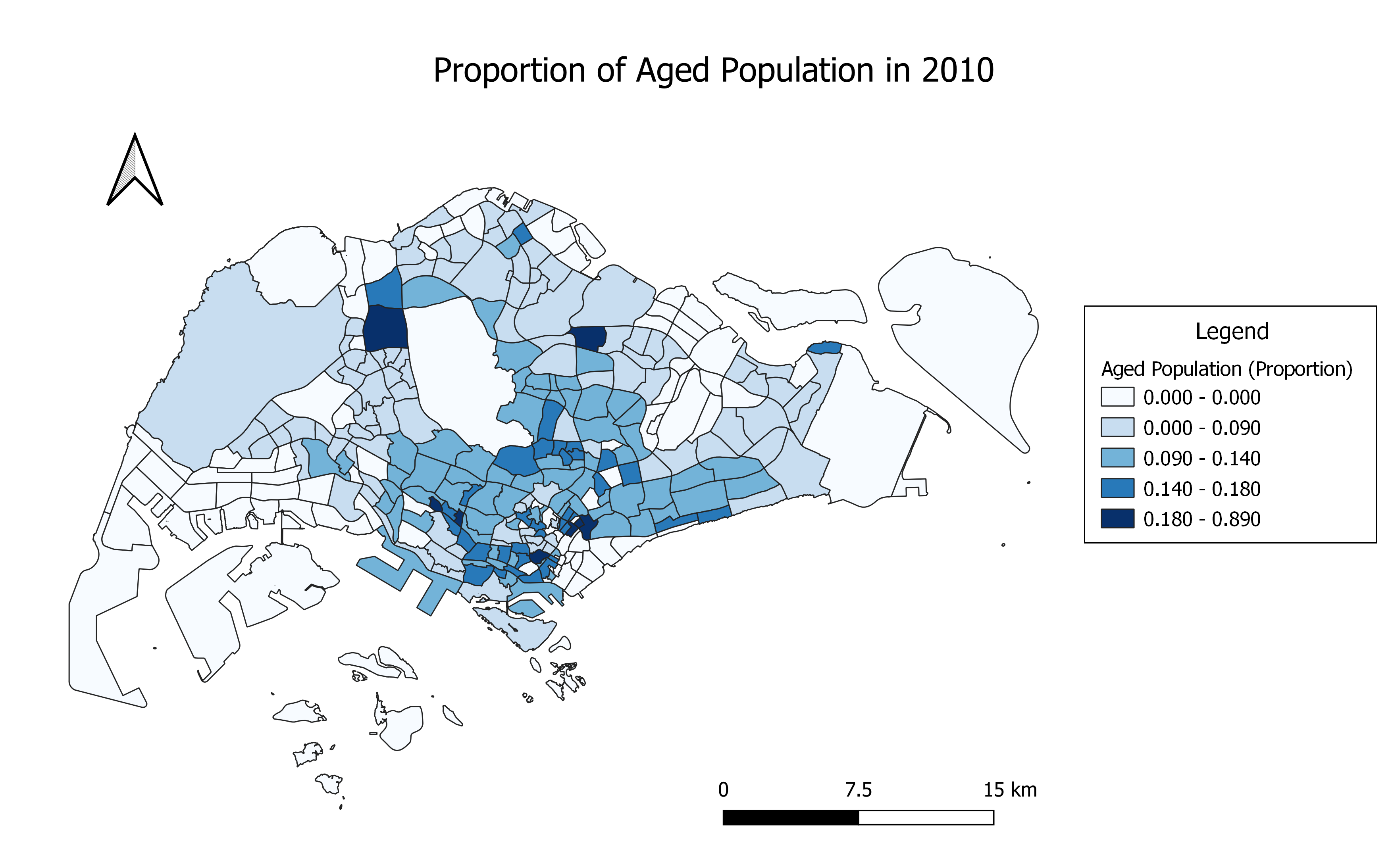
Proportion of Aged Population in 2010.png
(
file
)
747 KB
1
13:37, 15 September 2019
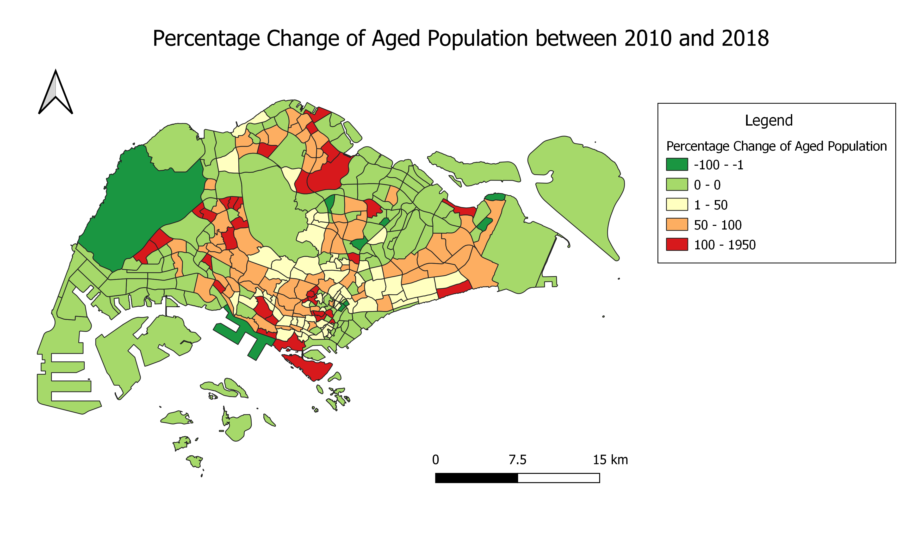
Percentage Change of Aged Population between 2010 and 2018.png
(
file
)
708 KB
1
13:13, 15 September 2019
Aged Population in 2018.png
(
file
)
765 KB
1
13:12, 15 September 2019
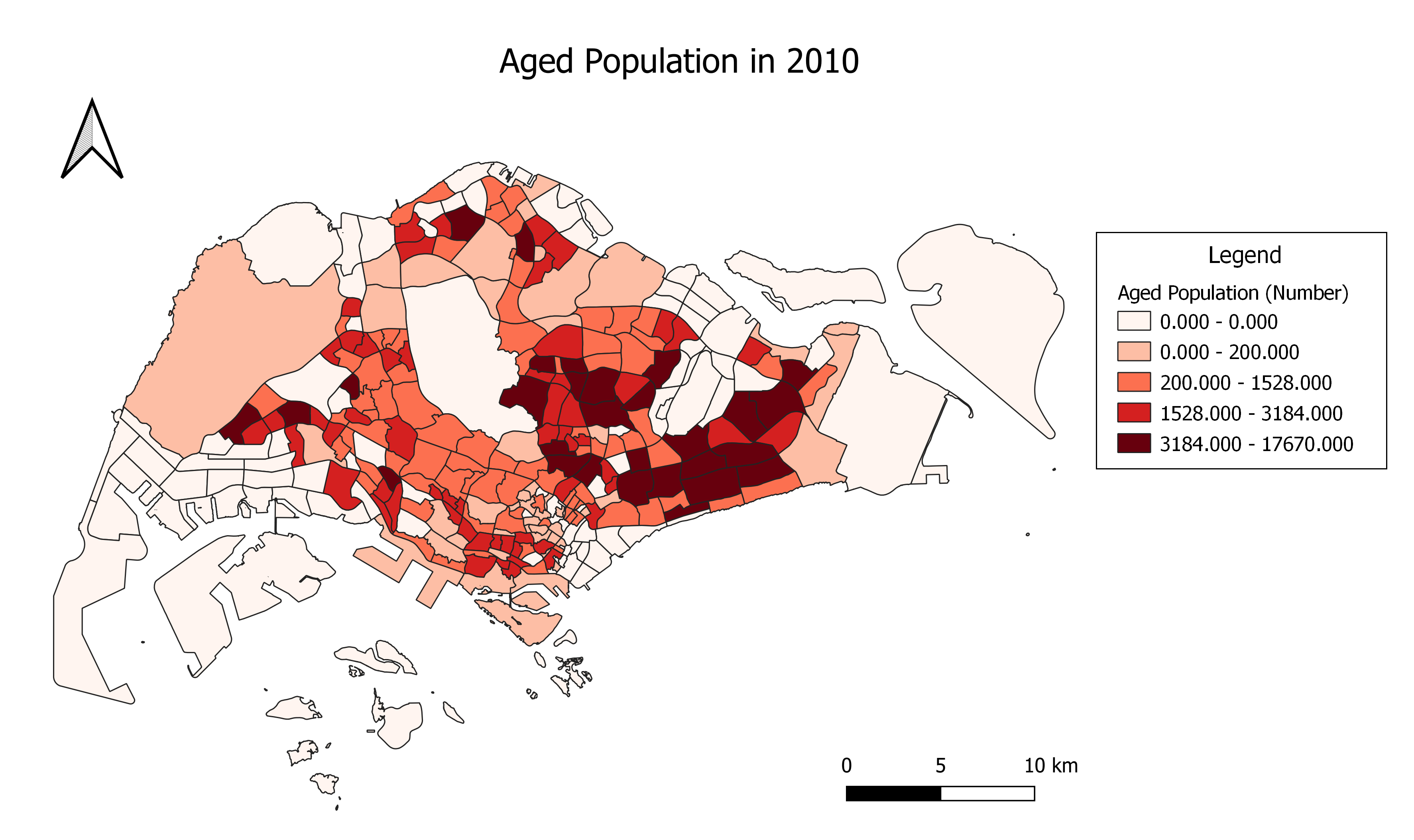
Aged Population in 2010.png
(
file
)
752 KB
1
13:00, 15 September 2019
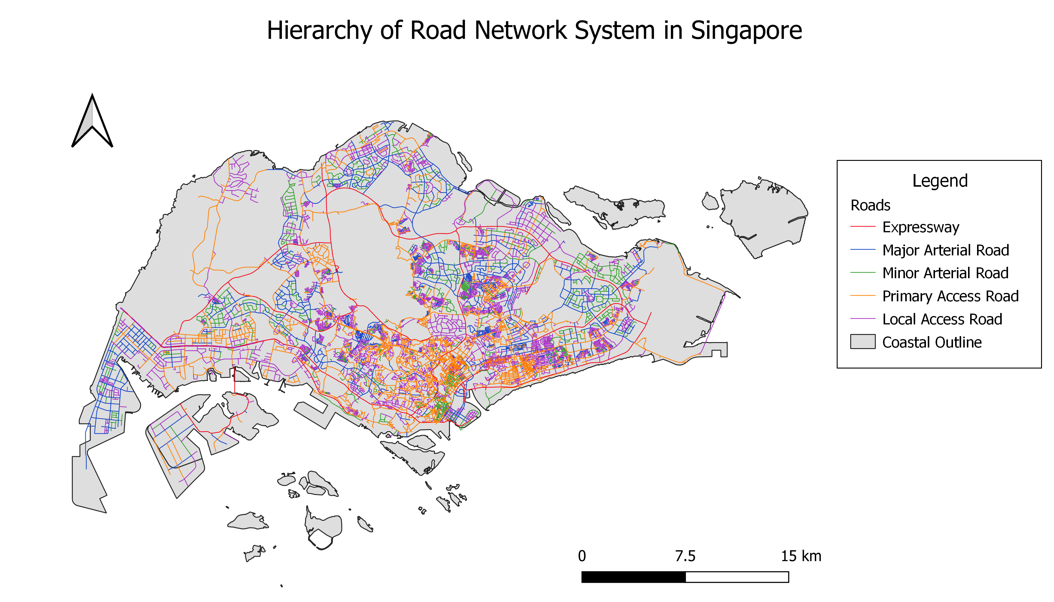
Hierarchy of Road Network System in Singapore.png
(
file
)
1.49 MB
1
12:47, 15 September 2019
Distribution of Public Education Institutions by School Types.png
(
file
)
639 KB
1
Navigation menu
Personal tools
Log in
Namespaces
Special page
Variants
Views
More
Search
Navigation
Main Page
Course information
Project Groups
Recent changes
Terms of use
Wiki Policy
Intellectual Property
Help
Tools
User contributions
Logs
View user groups
Special pages
.jpg)
.jpg)


.jpg)


