File:MapLayout3.png
Jump to navigation
Jump to search

Size of this preview: 800 × 566 pixels. Other resolutions: 320 × 226 pixels | 3,507 × 2,480 pixels.
Original file (3,507 × 2,480 pixels, file size: 876 KB, MIME type: image/png)
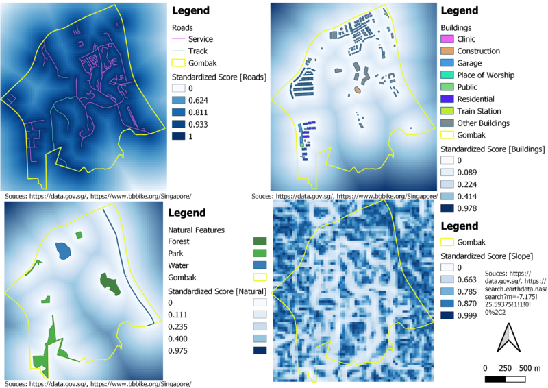
A map layout with four views showing the criterion scores of each factor layers.
File history
Click on a date/time to view the file as it appeared at that time.
| Date/Time | Thumbnail | Dimensions | User | Comment | |
|---|---|---|---|---|---|
| current | 19:46, 10 November 2019 | | 3,507 × 2,480 (876 KB) | Eddie.leow.2017 (talk | contribs) | Redid standardized score. |
| 05:12, 10 November 2019 |  | 3,507 × 2,480 (1.43 MB) | Eddie.leow.2017 (talk | contribs) |
- You cannot overwrite this file.
File usage
The following page links to this file: