File:Gombak Digital Elevation Map (Su Yee).png
Jump to navigation
Jump to search

Size of this preview: 800 × 566 pixels. Other resolutions: 320 × 226 pixels | 3,507 × 2,480 pixels.
Original file (3,507 × 2,480 pixels, file size: 230 KB, MIME type: image/png)
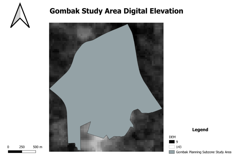
Gombak Digital Elevation Map
File history
Click on a date/time to view the file as it appeared at that time.
| Date/Time | Thumbnail | Dimensions | User | Comment | |
|---|---|---|---|---|---|
| current | 15:55, 3 November 2019 | | 3,507 × 2,480 (230 KB) | Suyee.kok.2017 (talk | contribs) |
- You cannot overwrite this file.
File usage
There are no pages that use this file.
.png&oldid=6346)
.png)
.png&action=edit&redlink=1)
.png&action=edit)
.png&action=history)
.png)
.png)
.png&oldid=6346)
.png&action=info)