File:EugeneChoy Part1 Maps.png
Jump to navigation
Jump to search

Size of this preview: 800 × 566 pixels. Other resolutions: 320 × 226 pixels | 3,507 × 2,480 pixels.
Original file (3,507 × 2,480 pixels, file size: 682 KB, MIME type: image/png)
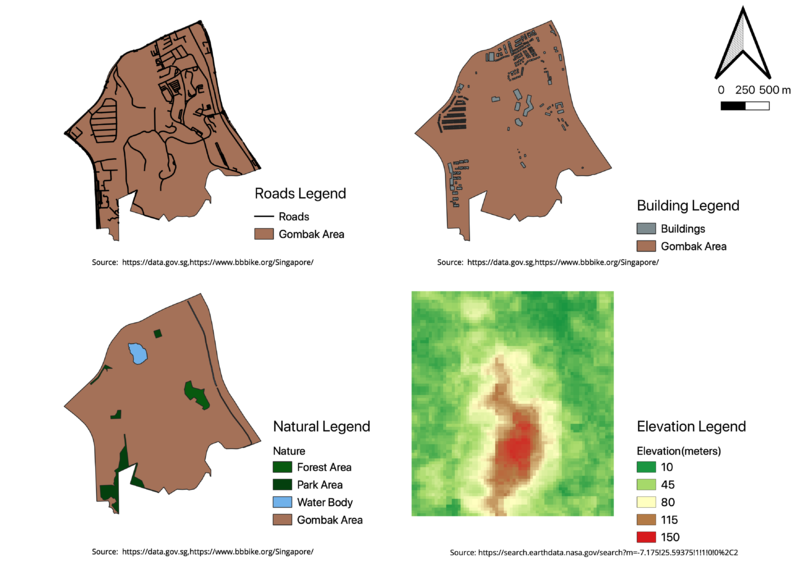
Map showing Building, Road, Natural Elements and Elevation for Gombak Area for Take Home 2
File history
Click on a date/time to view the file as it appeared at that time.
| Date/Time | Thumbnail | Dimensions | User | Comment | |
|---|---|---|---|---|---|
| current | 21:07, 4 November 2019 | | 3,507 × 2,480 (682 KB) | Eugene.choy.2016 (talk | contribs) |
- You cannot overwrite this file.
File usage
There are no pages that use this file.