Land Suitability Analysis
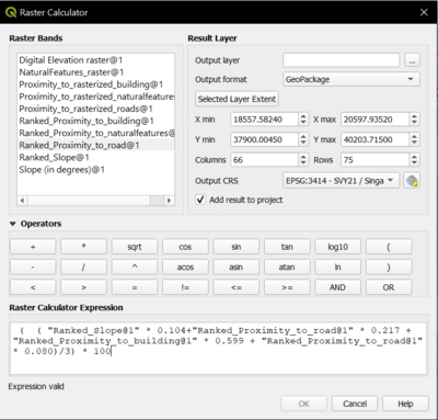
After getting the weights from the AHP, we will now use the raster calculator to combine all the ranked raster model to give a final raster layer which takes into account all the ranked model with the values we have given in the reclassified table. I want to count it in terms of percentage which is why I have divided with the maximum value of the raster calculation which is 3 and multiply by 100.
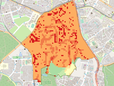
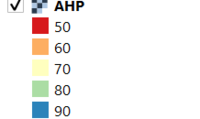
This will give me the following, one which is unclipped and another one clipped using the Gombak_SZN layer as layer extent.
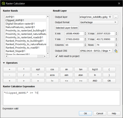
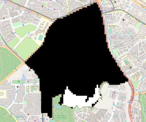
Next, we will do another raster calculation which will give us the desired location in a raster layer by selecting by expression of “Clipped_AHP >= 70” meaning that we want to get the raster layer which has a value of more than or equal to 70%.
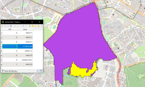
This will give us the following and we will polygonise this layer to obtain the vector layer. Using field calculator, we will get the area of the vector layer by creating a new column with the function $area.
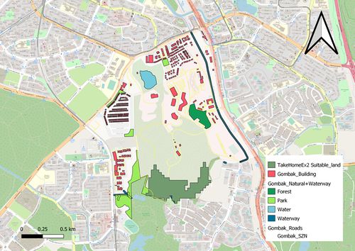
Since there is only one area with at least 10,000 metre square, we will select that and save it as a separate feature! This area should be the suitable plot of land for building a national Communicable Disease Quarantine Centre in Gombak planning subzone.
The plot of land fulfills all the decision factors and is far away from the buildings and population, which is my most important factor. However, for further analysis, we can get a buffer of our preferred planning subzone because rarely are buildings constructed just by considering one subzone and not the neighbouring subzones. If we look closer, the desirable plot of land are very near buildings from the neighbouring subzone.
