File:Ex2 Map5.png
Revision as of 20:39, 10 November 2019 by Baihe.soh.2018 (talk | contribs) (Baihe.soh.2018 uploaded a new version of File:Ex2 Map5.png)

Size of this preview: 800 × 527 pixels. Other resolutions: 320 × 211 pixels | 3,959 × 2,607 pixels.
Original file (3,959 × 2,607 pixels, file size: 243 KB, MIME type: image/png)
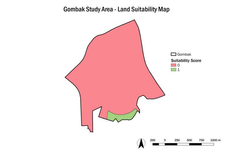
suitability score
File history
Click on a date/time to view the file as it appeared at that time.
| Date/Time | Thumbnail | Dimensions | User | Comment | |
|---|---|---|---|---|---|
| current | 20:39, 10 November 2019 | | 3,959 × 2,607 (243 KB) | Baihe.soh.2018 (talk | contribs) | |
| 20:37, 10 November 2019 |  | 3,959 × 2,607 (234 KB) | Baihe.soh.2018 (talk | contribs) |
- You cannot overwrite this file.
File usage
The following page links to this file: