SMT201 AY2019-20T1 EX2 Gui yuqi

From Geospatial Analytics for Urban Planning
Revision as of 19:15, 10 November 2019 by Yuqi.gui.2016 (talk | contribs)
Jump to navigation Jump to search

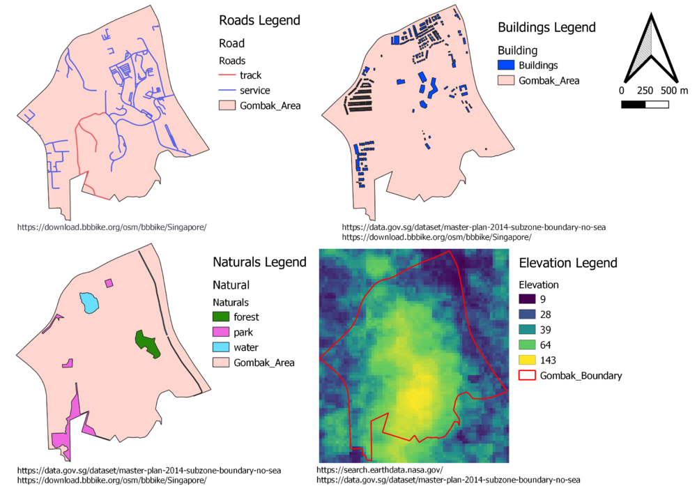
Part One - Map Views w Roads, Buildings, Natural Areas and Elevation


Part One - Map Views w Roads, Buildings, Natural Areas and Elevation.png

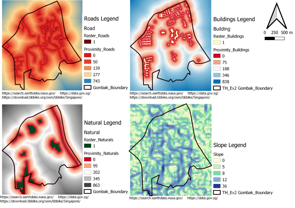
Part Two Proximity Raster w Roads, Buildings, Natural Areas and Slope Raster layer


Part Two Proximity Raster w Roads, Buildings, Natural Areas and Slope Raster layer.png

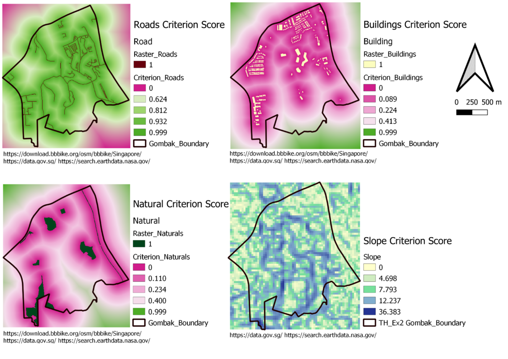
Part Three - Criterion Scores for various Layers

Part Three - Criterion Scores for various Layers.png

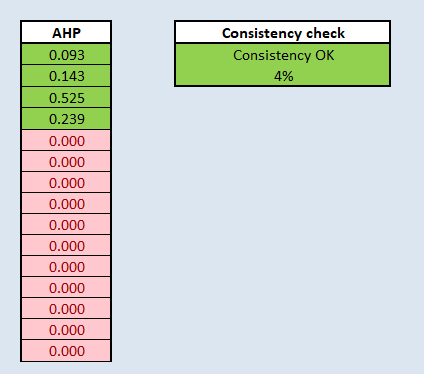
Part Four - Analytical Hierarchical Process input matrix


AHP001.png AHP002.png