File:Gombak-part1.png
Revision as of 18:44, 10 November 2019 by Jaslyn.wong.2017 (talk | contribs)
Size of this preview: 800 × 568 pixels. Other resolutions: 320 × 227 pixels | 1,412 × 1,002 pixels.
Original file (1,412 × 1,002 pixels, file size: 203 KB, MIME type: image/png)
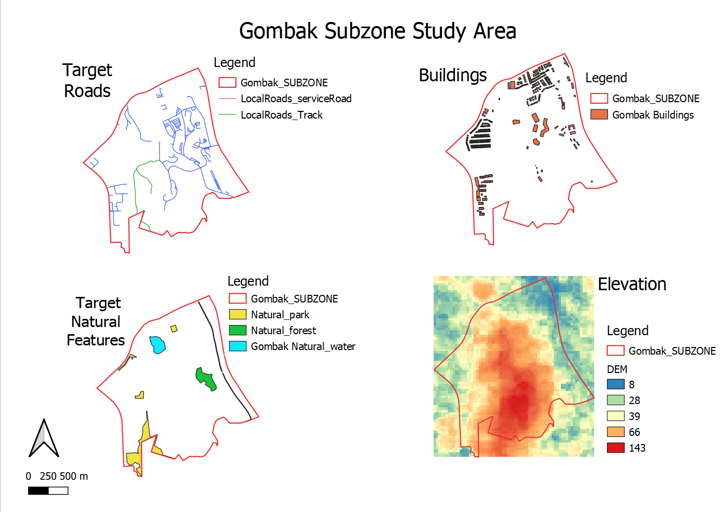
natural feature, roads, buildings and elevation
File history
Click on a date/time to view the file as it appeared at that time.
| Date/Time | Thumbnail | Dimensions | User | Comment | |
|---|---|---|---|---|---|
| current | 18:44, 10 November 2019 | | 1,412 × 1,002 (203 KB) | Jaslyn.wong.2017 (talk | contribs) |
- You cannot overwrite this file.
File usage
The following page links to this file: