Proximity
Revision as of 13:08, 10 November 2019 by Erikaaldisa.2018 (talk | contribs) (Created page with " == 2.Map Layout of Study Area with Proximity == {{center top}} {| border=1 cellspacing=0 cellpadding=5 | <big>'''Proximity to target roads'''</big><br> | File:Proximity to...")
2.Map Layout of Study Area with Proximity
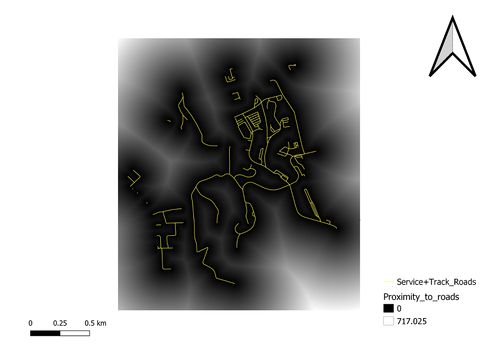
| Proximity to target roads |
|
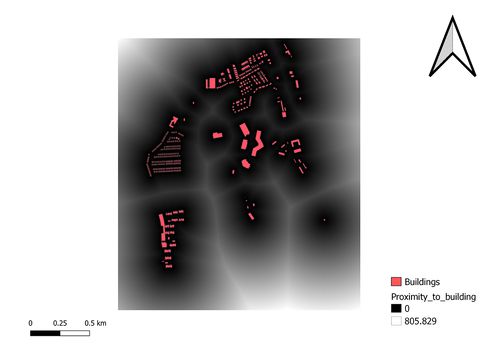
| Proximity to buildings |
|
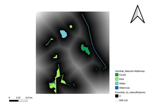
| Proximity to target natural features |
|
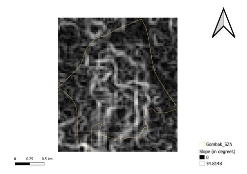
| Proximity to slope |


