SMT201 AY2019-20G1 Ex2 LeeHuiYun
Revision as of 03:52, 10 November 2019 by Huiyun.lee.2018 (talk | contribs)
Objective
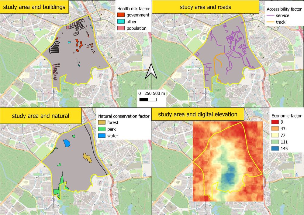
The objective of this study is to identify a suitable location in the Gombak planning subzone with a contiguous area of at least 10,000m2 to build a national Communicable Disease Quarantine Centre. This study would take the following factors into account while selecting the location.
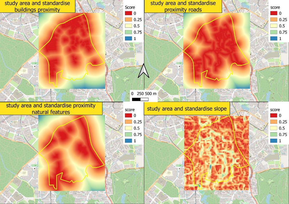
- Economic factor: Study of slope by using slope and elevation of Gombak to identify the gentlest slope to minimized construction cost of cut-and-fill.
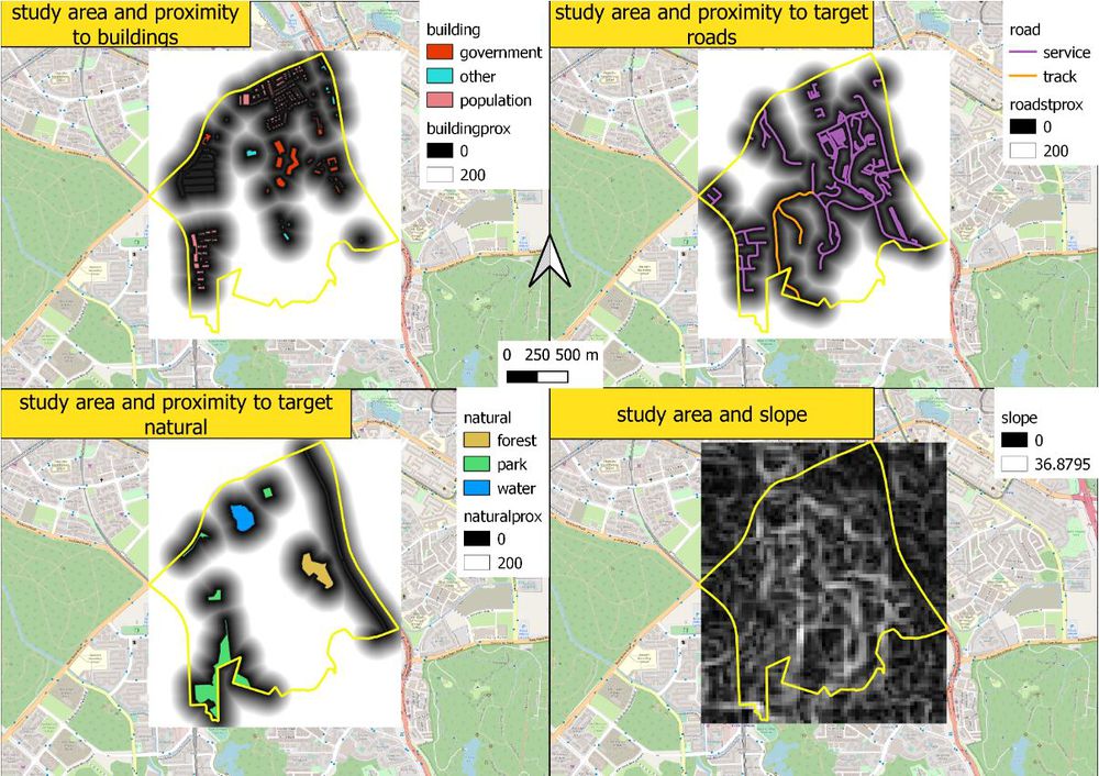
- Accessibility factor: Study of the road by using the location of the road to find road proximity to identify the area that is closed to the road for easy transportation. Road namely: service roads and tracks
- Health risk factor: Study of building by using the location of building to find building proximity to identify an area that is furthest away from the population to reduce the risk of spreading disease.
- Natural conservation factor: Study of natural features by using location of natural to find natural proximity to identify area that is away from forested land, park, and water.
Study Area
Proximity
Criterion scores


