File:Suitable Land Lot.jpg
Revision as of 16:29, 9 November 2019 by Kskning.2018 (talk | contribs) (Kskning.2018 uploaded a new version of File:Suitable Land Lot.jpg)
Size of this preview: 800 × 566 pixels. Other resolutions: 320 × 226 pixels | 2,104 × 1,488 pixels.
Original file (2,104 × 1,488 pixels, file size: 107 KB, MIME type: image/jpeg)
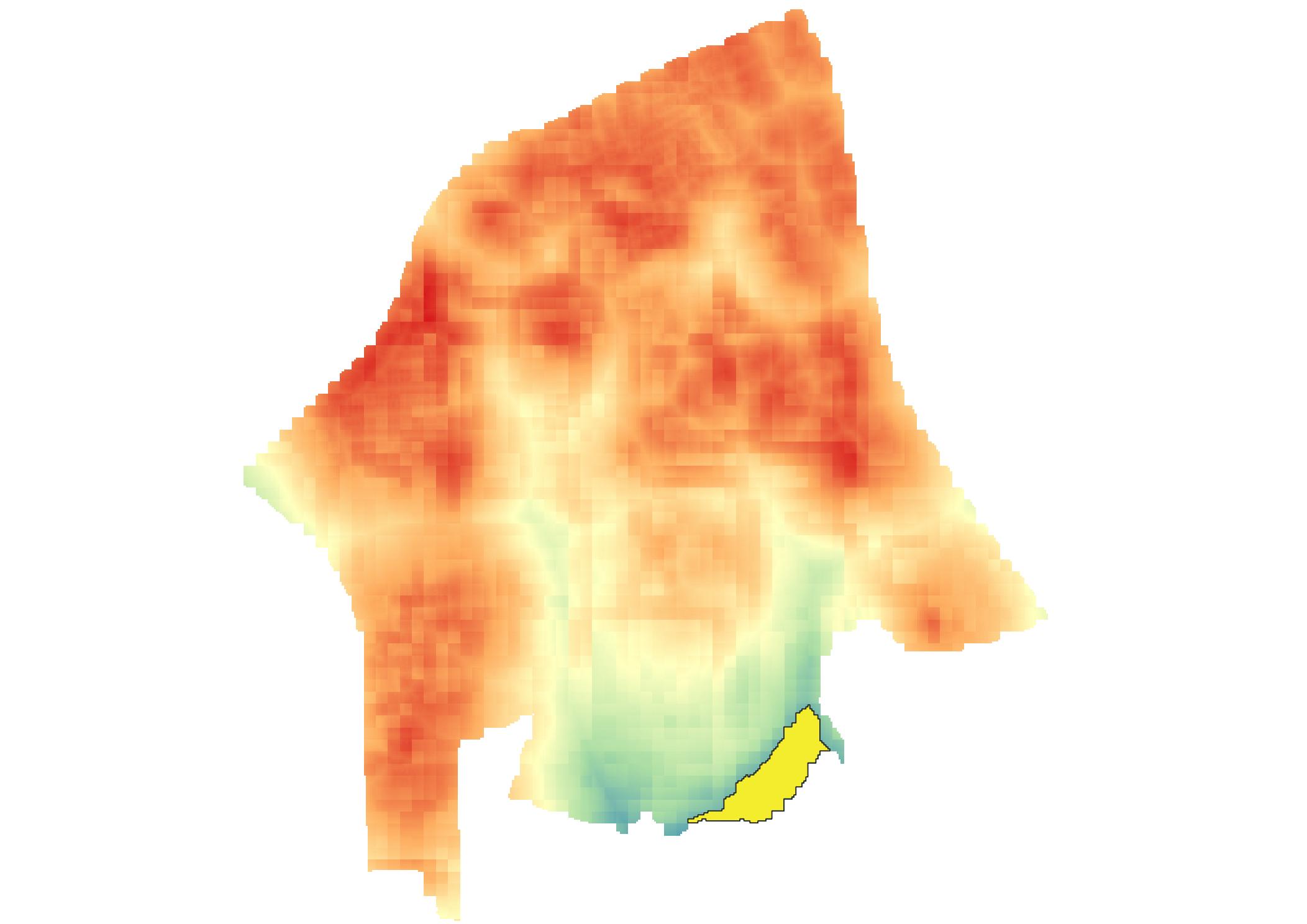
This is a map layout showing the area which is selected as the suitable land lot.
File history
Click on a date/time to view the file as it appeared at that time.
| Date/Time | Thumbnail | Dimensions | User | Comment | |
|---|---|---|---|---|---|
| current | 16:29, 9 November 2019 | | 2,104 × 1,488 (107 KB) | Kskning.2018 (talk | contribs) | |
| 21:11, 8 November 2019 |  | 2,104 × 1,488 (106 KB) | Kskning.2018 (talk | contribs) |
- You cannot overwrite this file.
File usage
The following page links to this file: