SMT201 AY2019-20G2 Ex2 Ng Poh Yeng
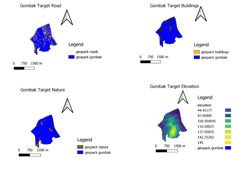
Gombak Target Road displays the major and minor roads of subzone Gombak against the study area.
Gombak Target Buildings displays all the buildings that are in subzone Gombak.
Gombak Target Nature displays all the natural features ranging from all available parks, water features and green site.
Gombak Target Elevation displays the slope elevation in subzone Gombak. The dark purple shades are lower-lying ground while the lighter the colour, the higher the ground level.
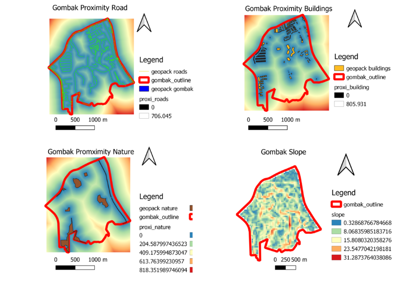
Gombak Proximity Road map illustrates the road network of Gombak in view of the Buildings in Gombak. The light blue section around the road network represents the proximity of the road to buildings. Whereas, the furthest area from the road network without buildings, are red in colour.
Gombak Proximity Buildings map illustrates the buildings in Gombak. Those darker blue sections are nearer the building. The further the area from buildings, the colour turns to a lighter green.
Gombak Proximity Nature map illustrates the natural features in Gombak. Those darker blue sections are nearer the natural features. The further the area from natural features, the colour turn to a lighter green.
Gombak Slope map illustrates the difference in elevation in the Elevation map displayed in the above section. We will be using this map to determine the most suitable location to build a Communicable Disease Centre which is to be away from high elevation area.


