File:2ndproxmap.png
Revision as of 10:16, 9 November 2019 by Lhkhong.2018 (talk | contribs)
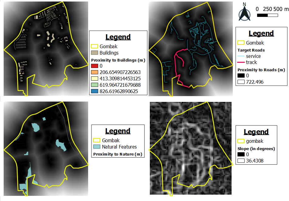
Size of this preview: 800 × 558 pixels. Other resolutions: 320 × 223 pixels | 951 × 663 pixels.
Original file (951 × 663 pixels, file size: 340 KB, MIME type: image/png)
-
File history
Click on a date/time to view the file as it appeared at that time.
| Date/Time | Thumbnail | Dimensions | User | Comment | |
|---|---|---|---|---|---|
| current | 10:16, 9 November 2019 | | 951 × 663 (340 KB) | Lhkhong.2018 (talk | contribs) |
- You cannot overwrite this file.
File usage
The following page links to this file: