File:Part1.jpg
Revision as of 16:37, 8 November 2019 by Genice.goh.2018 (talk | contribs)

Size of this preview: 800 × 566 pixels. Other resolutions: 320 × 226 pixels | 4,960 × 3,507 pixels.
Original file (4,960 × 3,507 pixels, file size: 1,003 KB, MIME type: image/jpeg)
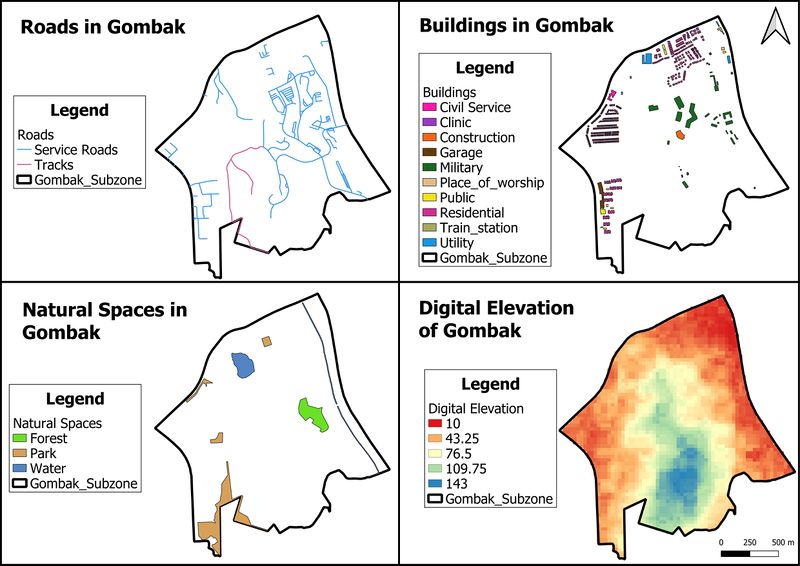
Map showing the roads, buildings, natural spaces and digital elevation of Gombak subzone
File history
Click on a date/time to view the file as it appeared at that time.
| Date/Time | Thumbnail | Dimensions | User | Comment | |
|---|---|---|---|---|---|
| current | 16:37, 8 November 2019 | | 4,960 × 3,507 (1,003 KB) | Genice.goh.2018 (talk | contribs) |
- You cannot overwrite this file.
File usage
The following page links to this file: