SMT201 AY2019-20T1 EX2 Wang Youjin
Contents
Part 1: Base Map Views
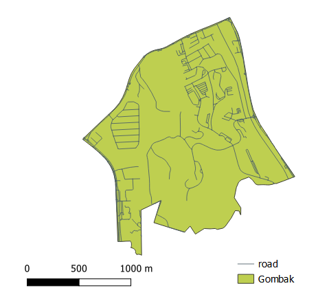
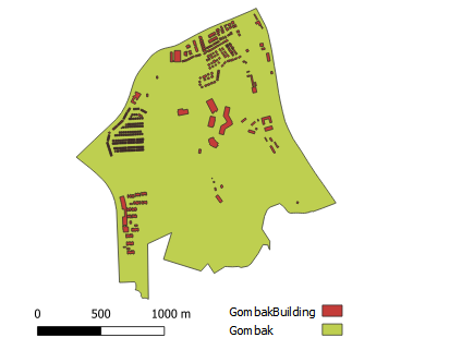
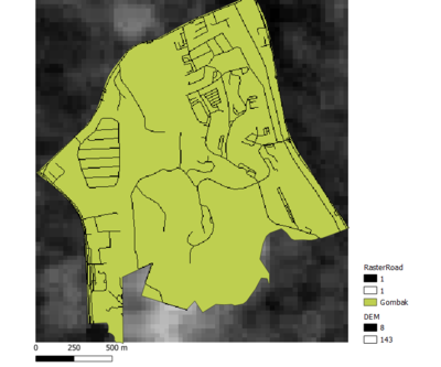
In order to identify a location suitable for building a National Communicable Disease Quarantine Centre given in the task question, we have to first look at the important aspects for consideration in targeted Gombak planning subzone by building the base map views 1) Gombak Road 2) Gombak Building 3) Gombak Natural Features 4) Digital Elevation together with targeted study area - Bukit Gombak:
| 1.Map with 4 views
Description: xxxxxxxxxxxxxxxxxxxxxxxxxxxxxxxxxxxxxxxxxxxxxxxxxxxxxxxxxxxxxxxxxxxxxxxxxxxxxxxxxxxxxxxxxxxxxxxxxxxxxxxxxxxxxxxxxxxxxxxxxxxxxxxxxxxxxxxxxxxxxxxxxxxxxx
Gombak Target Road
Description
|
| 2.Aggregated View
Description Digital Elevation Layer
|
| Write-up
2. Building
In view of the Health Risk factor that we need to consider that requires the selected site to be away from population to prevent the diseases from spreading to the public. By using categorize visualization of the building types, we can see there are 7 types including clinic, construction site, garage, place of worship, public space, residential area, and train station. However, 95%(505) of the building data are not known of its type which make it hard to present a clear understanding of the building type by categorizing it.
|
Part 2: Factor Layers:Proximity and Slope Map Views
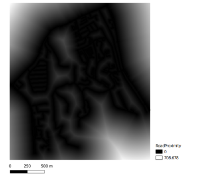
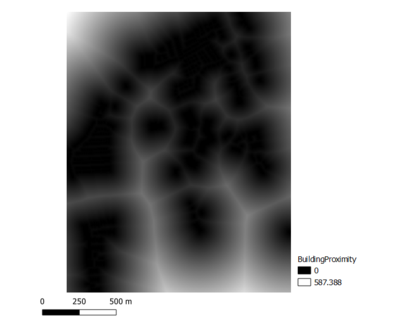
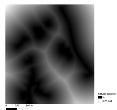
Next, we did a proximity analysis to show the closeness of all features in target area to the identified features of interest. As shown in the screenshot below, the darker parts the maps below depict higher closeness to the features of interest.
Four views showing the proximity map to 1)target roads layer, 2) buildings layer,3) target natural features layer and 4) slope layer that are created in Part 1.
| 1. View with 4 Proximity maps |
|
| 2.Proximity to target building layer |
Description
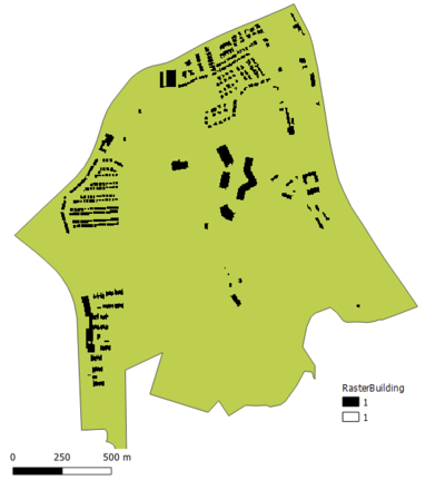
Rasterized Building Layer
Proximity to Building
|
| 3.Proximity to target natural features layer |
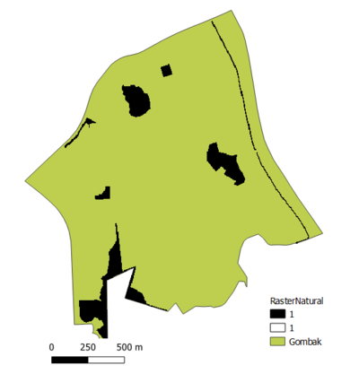
Rasterized Natural Features Map
Proximity to Natural features
|
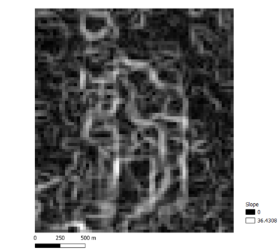
| 4.Slope Layer |
Slope
|
Part 3: Factor Layers with Criterion Scores
A map layout with four views showing the criterion scores of each factor layers including 1)Economic factor 2) Accessibility Factor 3) Health Risk Factor 4) Natural Conservation Factor
| Factor Layer | Criterion Scores |
|---|---|
| 1. Economic Factor |
he selected site should avoid steep slope. This is because construction at steep slope tends to involve a lot of cut-and-fill and will lend to relatively higher development cost.
School types
Description
|
| 2. Accessibility Factor |
The selected site should be close to existing local roads, namely: service roads and tracks. This is to ensure easy transportation of building materials during the construction stage [[File:|600px|center]] Road Network
|
| 3. Health Risk Factor |
The selected site should be away from population i.e. housing areas and offices in order to avoid disease spreading to the nearby population Land Use
|
| 4.Natural Conservation Factor |
The selected site should be away from forested land, park and water [[File:|600px|center]] Road Network
|
Part 4: Analytical Hierarchical Process (AHP) input matrix
An Analytical Hierarchical Process input matrix and result report and a short description of not more than 150 words discussing the analysis results.
| Factor Layer | Criterion Scores |
|---|---|
| input matric |
Description
School types
Description
|
Part 5: Suitability land lot
A map layout with the suitability land lot(s) and a short description of not more than 200 words commenting on each of the suitable land lot identified.
| Conclusion | Map Layout |
|---|---|
| Land Lot |
Description
School types
Description
|
