SMT201 AY2019-20G2 EX2 Khong Lee Han
Revision as of 18:45, 6 November 2019 by Lhkhong.2018 (talk | contribs)
Contents
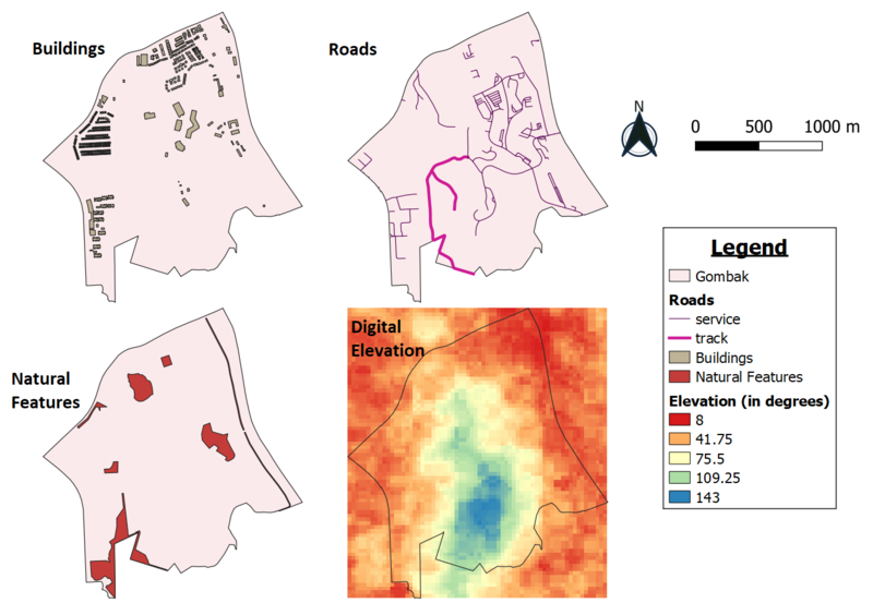
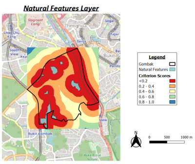
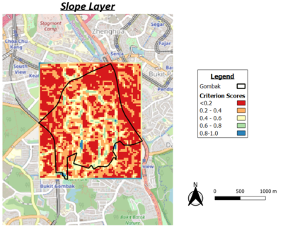
Part 1 : Map View with Study Area and Target Roads, Buildings, Natural Features, Digital Elevations Layer
a short description of not more than 100 words for each view.
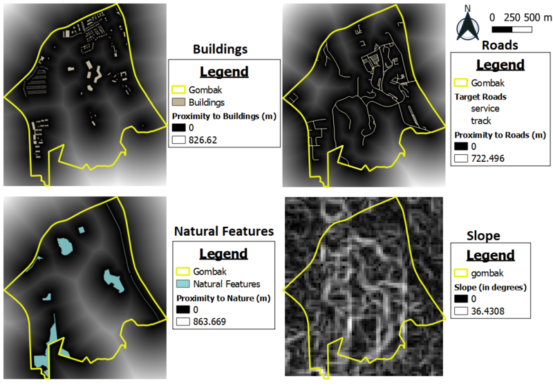
Part 2
a short description of not more than 100 words for each view.
Part 3
abcsdhfdjshf
sfsdgs
fdsfsd
gfdgjfd
