File:FigureVII.png
Revision as of 10:40, 14 September 2019 by Jerrytohvan.2016 (talk | contribs)
Size of this preview: 510 × 600 pixels. Other resolutions: 204 × 240 pixels | 675 × 794 pixels.
Original file (675 × 794 pixels, file size: 84 KB, MIME type: image/png)
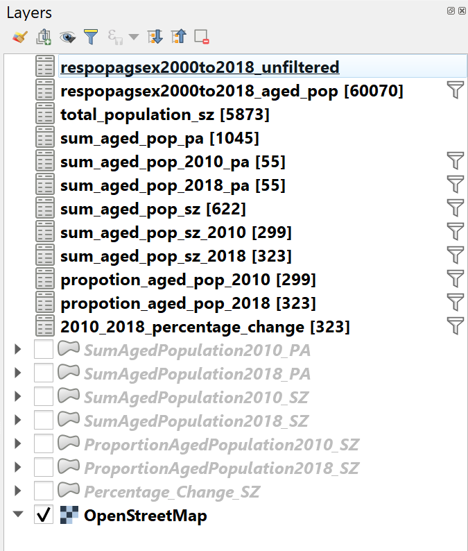
FigureVII
File history
Click on a date/time to view the file as it appeared at that time.
| Date/Time | Thumbnail | Dimensions | User | Comment | |
|---|---|---|---|---|---|
| current | 10:40, 14 September 2019 | | 675 × 794 (84 KB) | Jerrytohvan.2016 (talk | contribs) |
- You cannot overwrite this file.
File usage
The following page links to this file: