SMT201 AY2019-20G2 Ex2 JerryTohvan
Revision as of 00:05, 4 November 2019 by Jerrytohvan.2016 (talk | contribs)
Contents
Part 1: Study Area Map Components
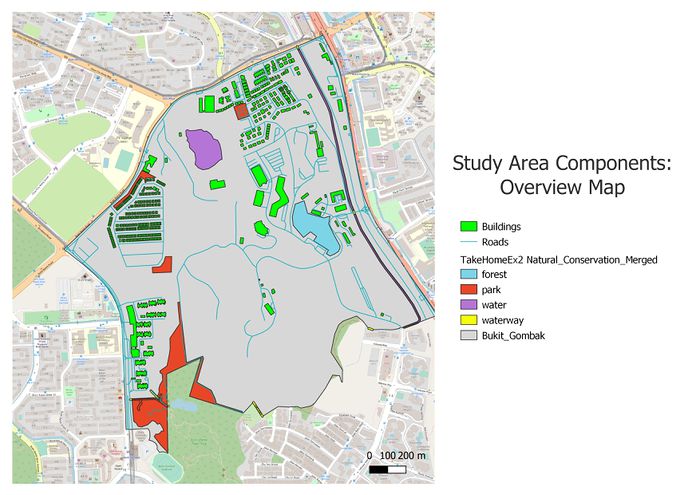
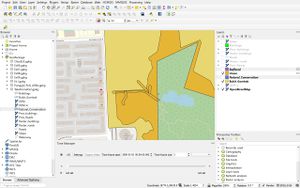
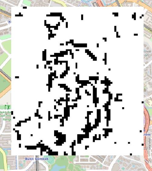
The following shows an overview of the study area and its map components we want to consider in this suitability land analysis for the Communicable Disease Quarantine Centre in Bukit Gombak:
FIGURE I
Study Area Map Components
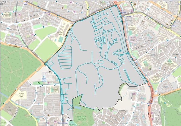
FIGURE II
Target Road Map
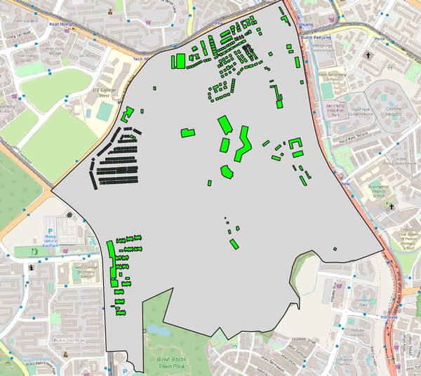
FIGURE III
Target Building Map
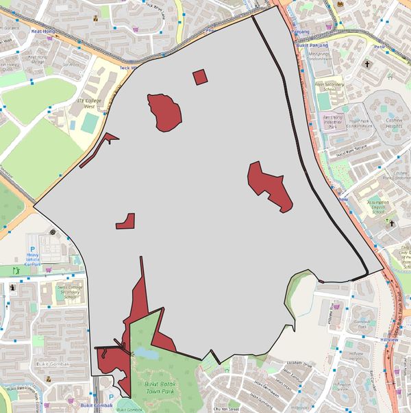
FIGURE III
Target Natural Features Map
FIGURE IV
Incomplete Waterway Target Inclusion. Applying buffering and merging of polygons in QGIS.
FIGURE V
Digital Elevation Map
Part 2: Study Area Proximity Maps
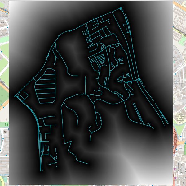
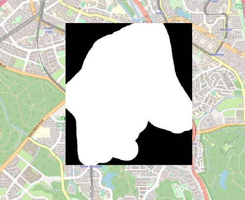
FIGURE VI
Accessibility Factor: Road Proximity Map
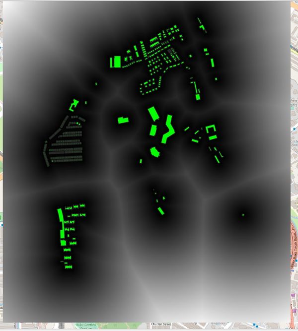
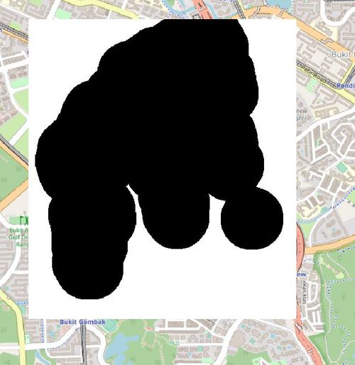
FIGURE VII
Health Risk Factor: Building Proximity Map
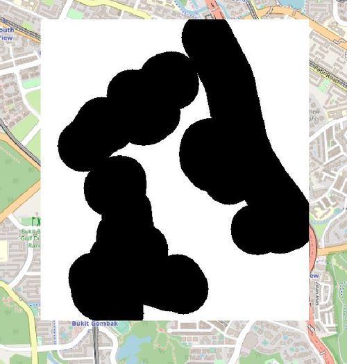
FIGURE VIII
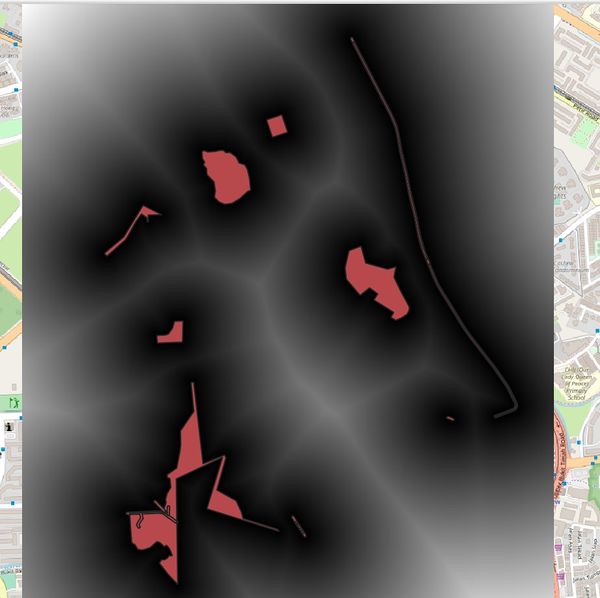
Natural Conservation Factor:: Natural Features Proximity Map
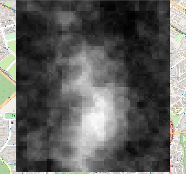
FIGURE IX
Economic Factor: Slope Layer
