SMT201 AY2019-20G2 Ex2 JerryTohvan
Contents
Part 1: Study Area Map Components
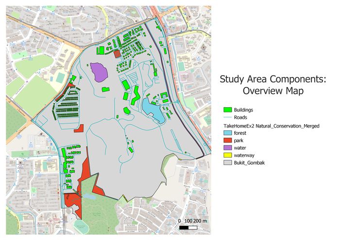
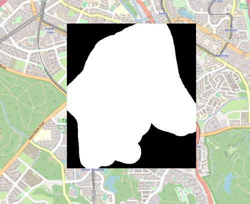
The following shows an overview of the study area and its map components we want to consider in this suitability land analysis for the Communicable Disease Quarantine Centre in Bukit Gombak:
FIGURE I
Study Area Map Components
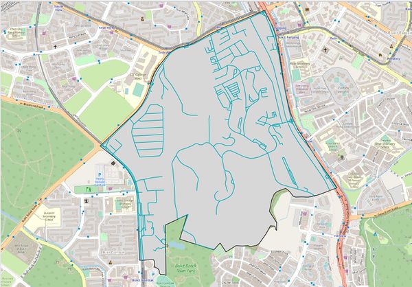
Firstly, the thematic mapping shown in figure 5 represents the default view of the map. School data points, map line and road network are shown on top of the OpenStreetMap.
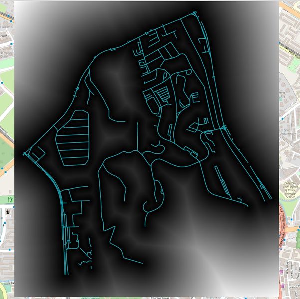
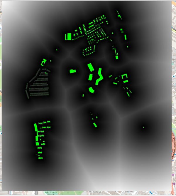
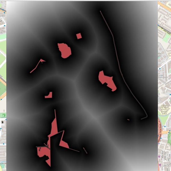
Part 2: Study Area Proximity Maps
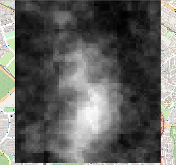
Criterion Scores for Map Components
References
[1] https://data.gov.sg/dataset/school-directory-and-information
[2] https://data.gov.sg/dataset/master-plan-2014-land-use?resource_id=ea9f3b26-991f-48ea-ab58-e6b6d5fbaade
[3] https://data.gov.sg/dataset/national-map-line
[4] https://www.singstat.gov.sg/find-data/search-by-theme/population/geographic-distribution/latest-data
[5] https://plugins.qgis.org/plugins/GroupStats/
[6] https://data.gov.sg/dataset/master-plan-2014-subzone-boundary-no-sea
