File:Ex2 Map1 DigitalElevation JeromeQuah.jpg
Revision as of 23:40, 3 November 2019 by Jerome.quah.2018 (talk | contribs)
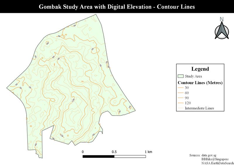
Size of this preview: 800 × 566 pixels. Other resolutions: 320 × 226 pixels | 1,753 × 1,240 pixels.
Original file (1,753 × 1,240 pixels, file size: 163 KB, MIME type: image/jpeg)
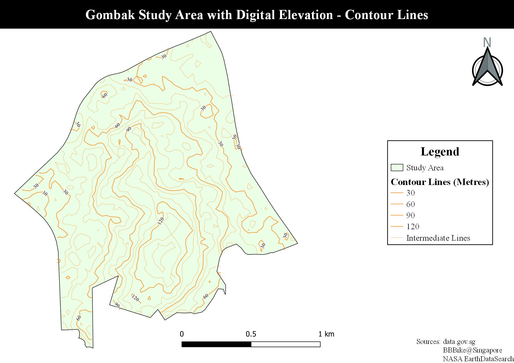
Gombak Study Area with Digital Elevation - Contour Lines Only
File history
Click on a date/time to view the file as it appeared at that time.
| Date/Time | Thumbnail | Dimensions | User | Comment | |
|---|---|---|---|---|---|
| current | 23:40, 3 November 2019 | | 1,753 × 1,240 (163 KB) | Jerome.quah.2018 (talk | contribs) |
- You cannot overwrite this file.
File usage
There are no pages that use this file.