SMT201 AY2019-20G1 EX2 Moh Qing Loong Darren
Contents
Part 1: Map Layout with four views
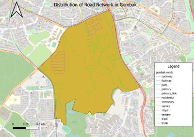
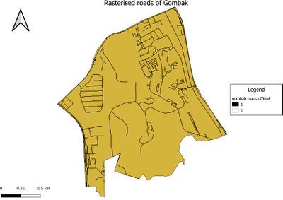
Gombak Road - showing the study area and the target roads
not more than 100 words Description:
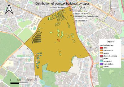
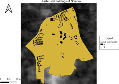
Gombak Buildings - showing the study area and buildings
Description:
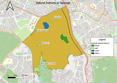
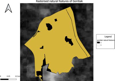
Gombak's natural features - showing the study area and the target natural features
Description:
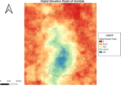
Digital Elevation Model of Gombak - showing the study area and the digital elevation model
Description:
Part 2: Map Layout with four views (Proximity)
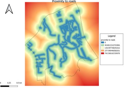
Gombak Road - showing the study area and proximity to target roads
not more than 150 words Description: The legend of Proximity map layer indicates that the furthest distance from the roads is 708.678 metres.
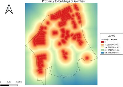
Gombak Buildings - showing the study area and proximity to buildings
Description: The legend of Proximity map layer indicates that the furthest distance from the buildings is 826.62 metres.
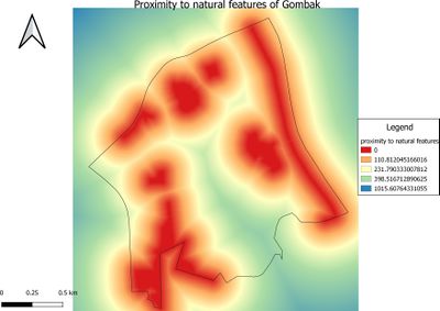
Gombak's natural features - showing the study area and the proximity to target natural features
Description: The legend of Proximity map layer indicates that the furthest distance from the natural features is 1016.62 metres.
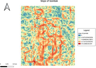
The slope of Gombak - showing the study area and the slope
Description: The legend of Slope layer shows that the minimum and maximum values of the slope values are 0 and 34.3452 degrees respectively. The grids with darker grey indicate locations with relatively gentle slope. On the other hand, the light grey grids indicate locations with steeper slope.
Part 3: May Layout with four views (Criterion Scores)
Description:
Part 4: Analytical Hierarchical Process
Part 5: Map Layout (Suitability)
Description:
