SMT201 AY2018-19T1 EX1 Lim Jia Yang James
Revision as of 23:46, 15 September 2019 by James.lim.2018 (talk | contribs)
Part 1: Thematic Mapping
Distribution of Public Education Institutes by School Types
I differentiated the different public education institutes namely "Primary", "Secondary", "Mixed Level", "Junior College" and "Centralised Institute" by using Categorized for variable "main_level". Although the original CSV file contains 344 records, my copy only contains 342 records, as I believe that 2 records were lost while geocoding.
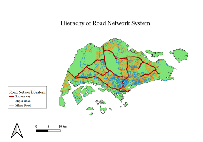
Hierarchy of Road Network System
All of Singapore's roads are shown in the map above, broadly categorized to Expressways, Major Roads and Minor Roads. To mimic real world conditions, I made lines representing Expressways thicker and I also chose a darker color. Likewise, I chose a darker color and thicker width lines for the Major Roads as compared to the Minor Roads.
