File:School Map.jpg
Revision as of 21:36, 15 September 2019 by Salihahmr.2018 (talk | contribs) (Replaced content with "School Map.Source:data.gov.sg")
Size of this preview: 800 × 560 pixels. Other resolutions: 320 × 224 pixels | 3,377 × 2,362 pixels.
Original file (3,377 × 2,362 pixels, file size: 1.18 MB, MIME type: image/jpeg)
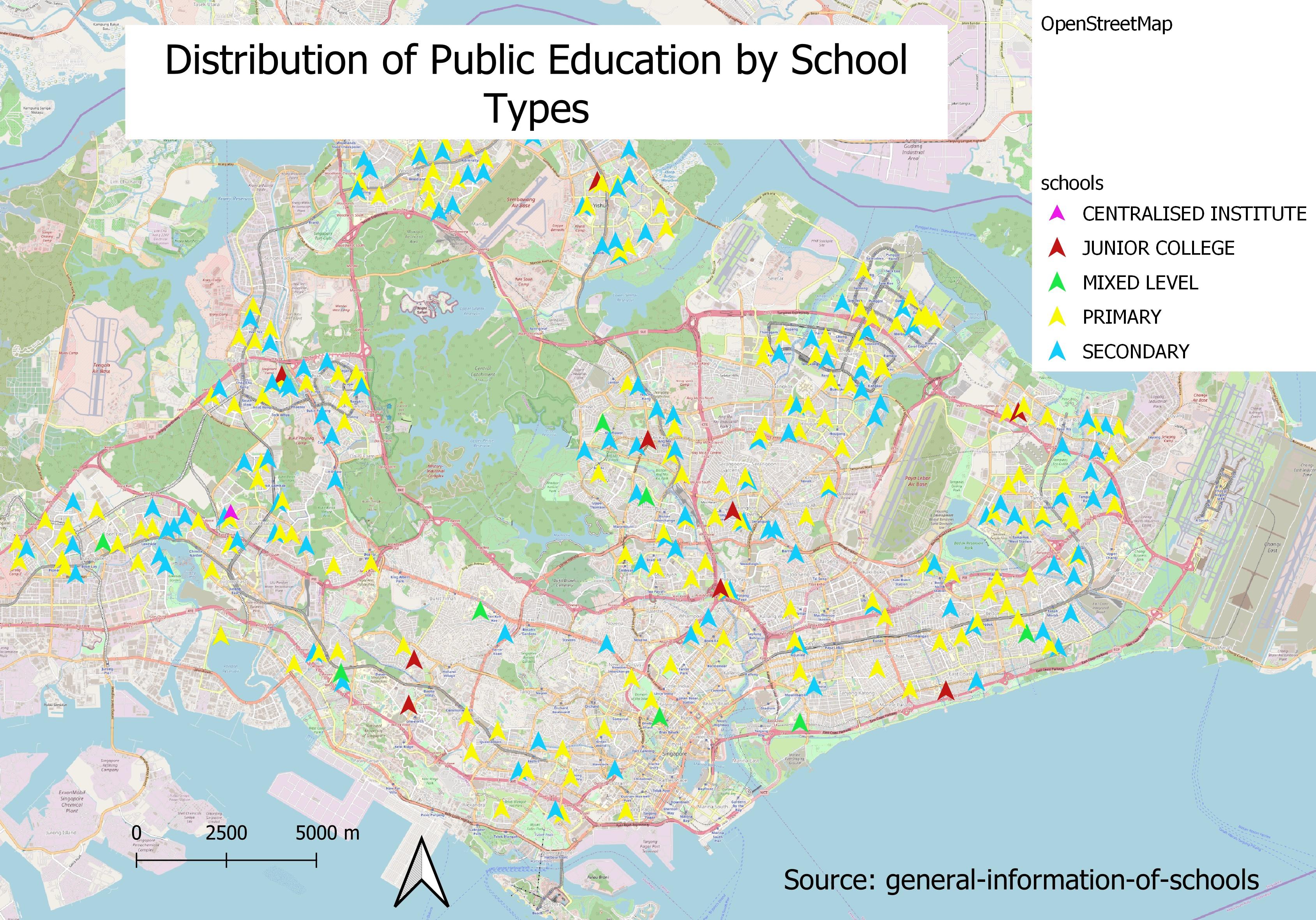
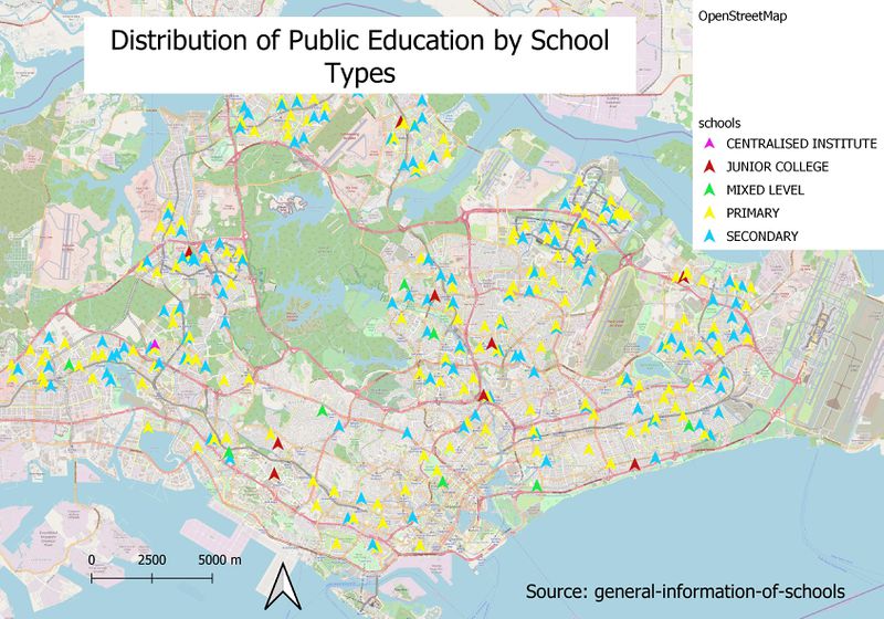
School Map.Source:data.gov.sg
File history
Click on a date/time to view the file as it appeared at that time.
| Date/Time | Thumbnail | Dimensions | User | Comment | |
|---|---|---|---|---|---|
| current | 21:52, 15 September 2019 | | 3,377 × 2,362 (1.18 MB) | Salihahmr.2018 (talk | contribs) | Reverted to version as of 21:25, 15 September 2019 (+08) |
| 21:49, 15 September 2019 |  | 3,507 × 2,480 (389 KB) | Salihahmr.2018 (talk | contribs) | Road_Map.png | |
| 21:25, 15 September 2019 |  | 3,377 × 2,362 (1.18 MB) | Salihahmr.2018 (talk | contribs) |
- You cannot overwrite this file.
File usage
The following file is a duplicate of this file (more details):
The following page links to this file: