SMT201 AY2019-20G1 Ex1 Luo Haonan
Revision as of 20:34, 15 September 2019 by Haonan.luo.2016 (talk | contribs)
Part1: Thematic Mapping
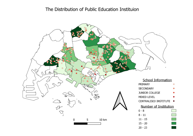
The distribution of public education institution
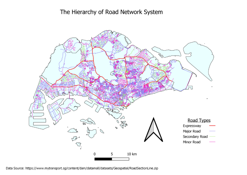
The hierarchy of road network system
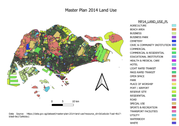
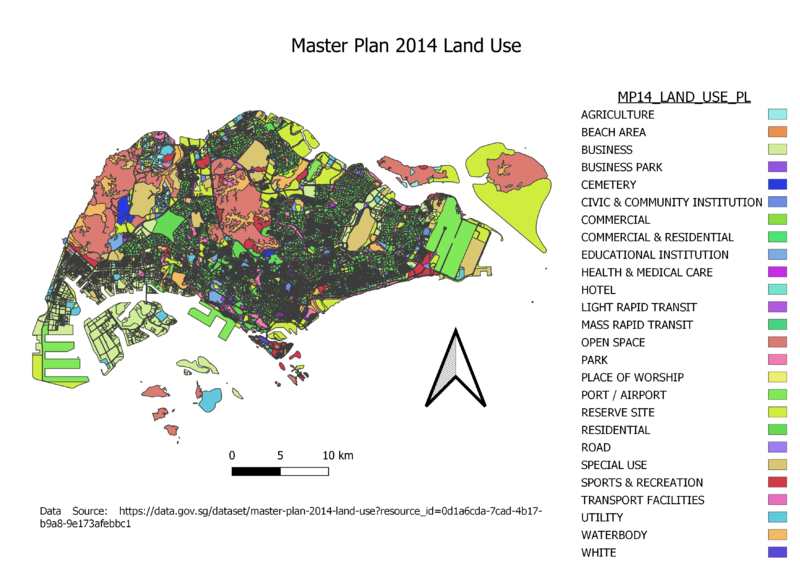
2014 Master Plan Landuse
Part2: Choropleth Mapping
Aged population (+65) in 2010 and 2018
 |

|
The proportion of the aged population in 2010 and 2018
 |

|


