SMT201 AY2019-20G2 Ex1 Melanie Tan Ri Fang
Contents
Part One: Thematic Mapping
2014 Master Plan Landuse
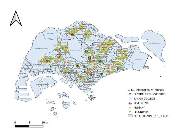
Level of Schools
From the map, primary and secondary schools are much more in numbers as compared to JC and mixed levels.I have chosen 4 different symbols to represent the different schools. It is evident that there are more primary and secondary schools thus I had to increase the size of the mixed level and JC and centralised institutions to make it more visible from the map. I also chose to use catergorised mapping which is able to show the viewers exactly which area is the schools located at.
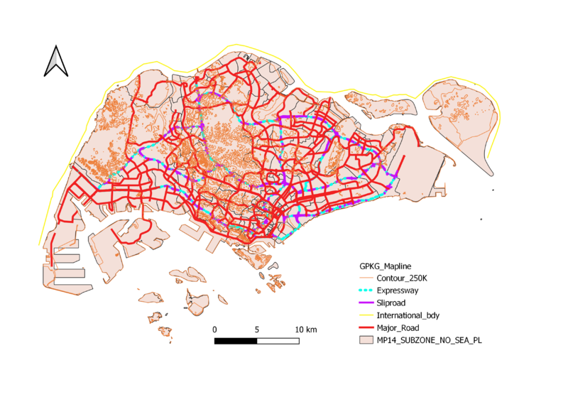
Road Network System
I chose to use a thicker line to show the major road and relatively thinner lines to display the slips roads and contour lines. This is to help the user to see the general major roads in Singapore at one glance. In addition, to also make the expressway more visible, I chose a neon color to make it stand out apart from the major roads as I feel these 2 roads are the most commonly used . This is displayed on an outline map of Singapore instead of the MP14 Landuse where some roads which are in the map itself may end up confusing the viewer. Thus, I feel this contrast to show the road hierarchy in Singapore is the best.

