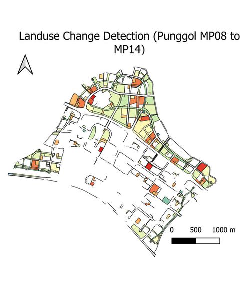
File:LanduseChange detection Punggol.jpg
Revision as of 12:08, 21 November 2019 by Xunjie.ng.2018 (talk | contribs) (G1 T9 Landsuitability layers)

Size of this preview: 497 × 599 pixels. Other resolutions: 199 × 240 pixels | 1,062 × 1,280 pixels.
Original file (1,062 × 1,280 pixels, file size: 122 KB, MIME type: image/jpeg)
Summary
G1 T9 Landsuitability layers
File history
Click on a date/time to view the file as it appeared at that time.
| Date/Time | Thumbnail | Dimensions | User | Comment | |
|---|---|---|---|---|---|
| current | 12:08, 21 November 2019 | | 1,062 × 1,280 (122 KB) | Xunjie.ng.2018 (talk | contribs) | G1 T9 Landsuitability layers |
- You cannot overwrite this file.
File usage
The following page links to this file: