File:Minmaxformula.png
Revision as of 22:48, 10 November 2019 by Jaslyn.wong.2017 (talk | contribs)
Size of this preview: 800 × 188 pixels. Other resolution: 936 × 220 pixels.
Original file (936 × 220 pixels, file size: 21 KB, MIME type: image/png)
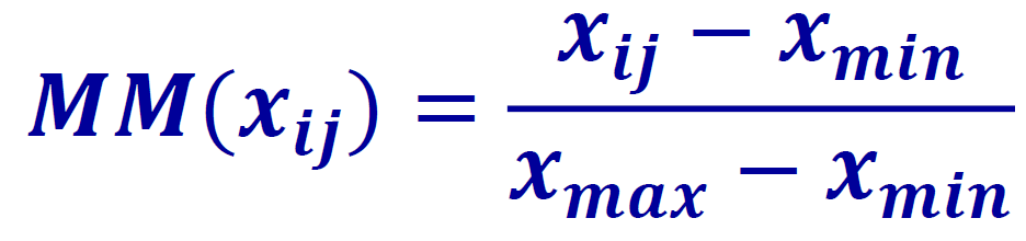
min max formula
File history
Click on a date/time to view the file as it appeared at that time.
| Date/Time | Thumbnail | Dimensions | User | Comment | |
|---|---|---|---|---|---|
| current | 22:48, 10 November 2019 | 936 × 220 (21 KB) | Jaslyn.wong.2017 (talk | contribs) |
- You cannot overwrite this file.
File usage
The following page links to this file: