Difference between revisions of "SMT201 AY2019-20G2 EX2 Khong Lee Han"
Jump to navigation
Jump to search
Lhkhong.2018 (talk | contribs) (Created page with " == Part 1 : Map View with Study Area and Target Roads, Buildings, Natural Features, Digital Elevations Layer == left|800px<br> <br> <br> <br> <br> <br>...") |
Lhkhong.2018 (talk | contribs) |
||
| Line 66: | Line 66: | ||
== Part 3 == | == Part 3 == | ||
| + | |||
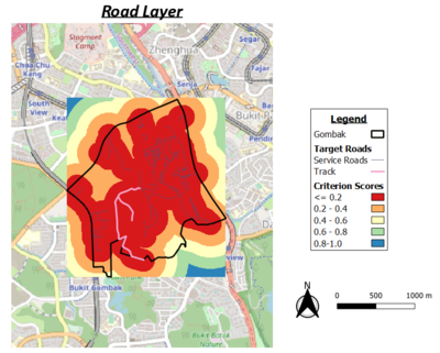
| + | [[File:Map3 road.png|400px|left]] | ||
| + | |||
| + | abcsdhfdjshf | ||
| + | |||
| + | |||
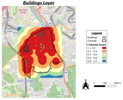
[[File:Map3_buildings.png|left|400px]] | [[File:Map3_buildings.png|left|400px]] | ||
| + | |||
| + | sfsdgs | ||
| + | |||
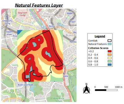
| + | [[File:Map3 natural.png|400px|left]] | ||
| + | |||
| + | fdsfsd | ||
| + | |||
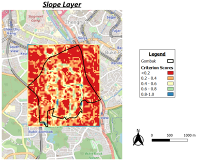
| + | [[File:Map3 slope.png|400px|left]] | ||
| + | |||
| + | gfdgjfd | ||
== Part 4 == | == Part 4 == | ||
Revision as of 18:45, 6 November 2019
Contents
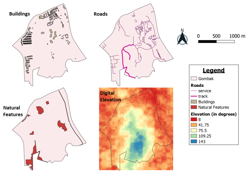
Part 1 : Map View with Study Area and Target Roads, Buildings, Natural Features, Digital Elevations Layer

a short description of not more than 100 words for each view.
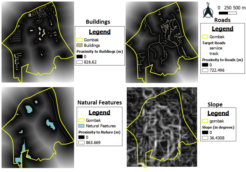
Part 2

a short description of not more than 100 words for each view.
Part 3

abcsdhfdjshf

sfsdgs

fdsfsd

gfdgjfd