Difference between revisions of "SMT201 AY2019-20G1 EX2 Kok Jim Meng"
Jump to navigation
Jump to search
| Line 7: | Line 7: | ||
<tr> | <tr> | ||
<td style="border: 1px solid #a7a2a2;"> | <td style="border: 1px solid #a7a2a2;"> | ||
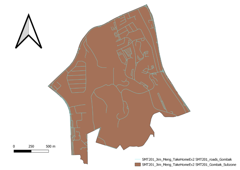
| − | + | [[File:Jim Gombak Road Part1.png|800px|center]] | |
</td> | </td> | ||
<td style="border: 1px solid #a7a2a2;"> | <td style="border: 1px solid #a7a2a2;"> | ||
Revision as of 21:33, 2 November 2019
Contents
Part 1: Map Layouts of Extractions
Maps |
Description |
|
1 |
|
|
2 |
2 |
|
3 |
3 |
|
4 |
4 |
Part 2: Map Layouts of Proximity
Maps |
Description |
|
1 |
1 |
|
2 |
2 |
|
3 |
3 |
|
4 |
4 |
Part 3: Map Layouts of Criterion Scores
Maps |
Description |
|
1 |
1 |
|
2 |
2 |
|
3 |
3 |
|
4 |
4 |
Part 4: Analytical Hierarchical Process
Part 5: Map Layout of Suitability
Maps |
Description |
|
1 |
1 |
|
2 |
2 |
|
3 |
3 |
|
4 |
4 |
