Difference between revisions of "SMT201 AY2019-20T1 EX1 Eugene Choy Wen Jia"
Jump to navigation
Jump to search
| Line 2: | Line 2: | ||
=== 2014 Master Plan Landuse === | === 2014 Master Plan Landuse === | ||
| − | [[File:Part1Mapping.png| | + | [[File:Part1Mapping.png|border|center]] |
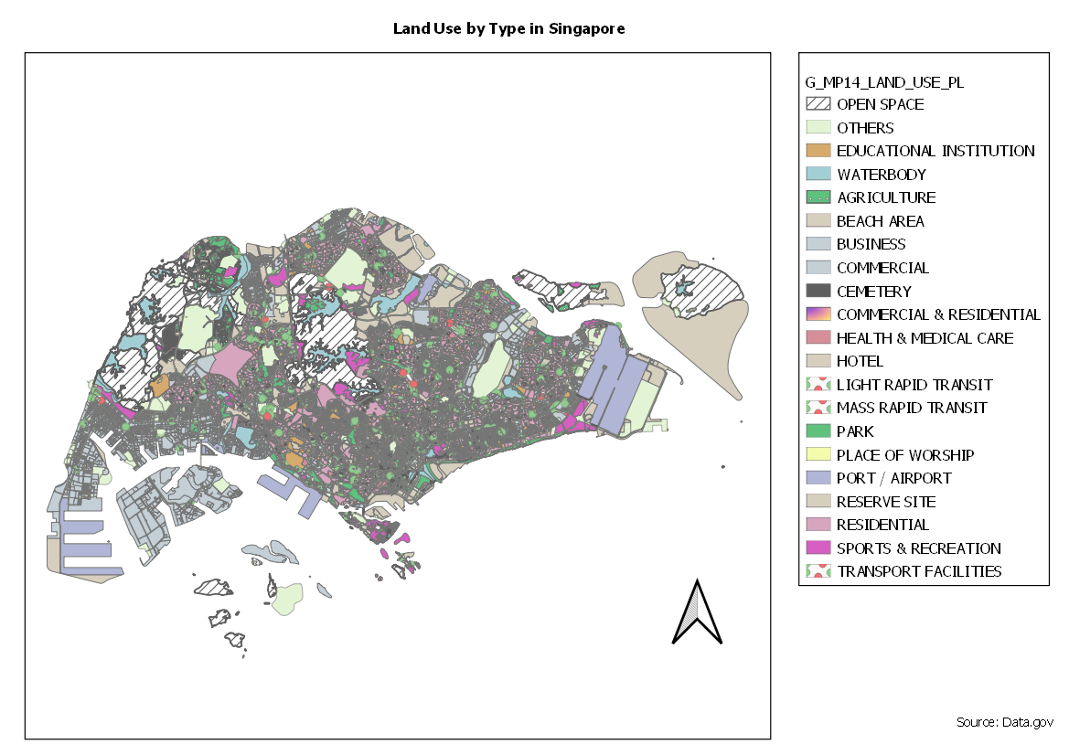
| − | + | Categorized Symbology was used to show a visual representation of the various different usage of land in Singapore. Similar categories were grouped together (Business, Business 1, Business Park) to avoid displaying too many colors which may be confusing and difficult to understand. A pattern with lines were used on Open Space to show that the spaces were not planned for any specific kind of development. | |
== Part Two == | == Part Two == | ||
Revision as of 13:20, 13 September 2019
Part One
2014 Master Plan Landuse

Categorized Symbology was used to show a visual representation of the various different usage of land in Singapore. Similar categories were grouped together (Business, Business 1, Business Park) to avoid displaying too many colors which may be confusing and difficult to understand. A pattern with lines were used on Open Space to show that the spaces were not planned for any specific kind of development.