Difference between revisions of "SMT201 AY2019-20G1 Ex1 LeeHuiYun"
Jump to navigation
Jump to search
| Line 3: | Line 3: | ||
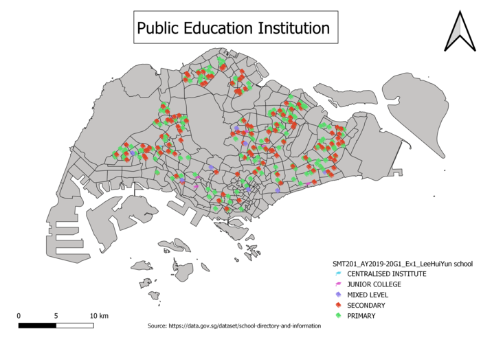
1.1 Distribution of public education institution | 1.1 Distribution of public education institution | ||
| − | [[File:Public education institution LeeHuiYun.png]] | + | [[File:Public education institution LeeHuiYun.png|700px|center]] |
| + | |||
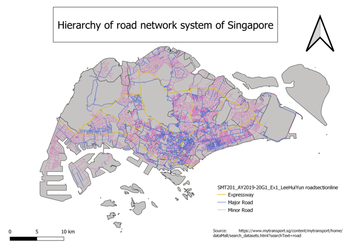
1.2 Hierarchy of road network system of Singapore | 1.2 Hierarchy of road network system of Singapore | ||
| + | |||
| + | [[File:Hierarchy of road network system of Singapore LeeHuiYun.png|700px|center]] | ||
| + | |||
1.3 2014 Master Plan Landuse | 1.3 2014 Master Plan Landuse | ||
Revision as of 20:58, 15 September 2019
Part 1: Thematic Mapping
1.1 Distribution of public education institution

1.2 Hierarchy of road network system of Singapore

1.3 2014 Master Plan Landuse
Part 2: Choropleth Mapping
2.1 Aged population (+65) in 2010 and 2018
2.2 Proportional of aged population in 2010 and 2018
2.3 Percentage change of aged population between 2010 and 2018